


0
Ascents

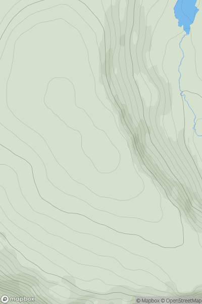
 Loch Broom to Strath Oykel
 0
0 736.0
736.0User Activity
No recent Activity

0
Ascents
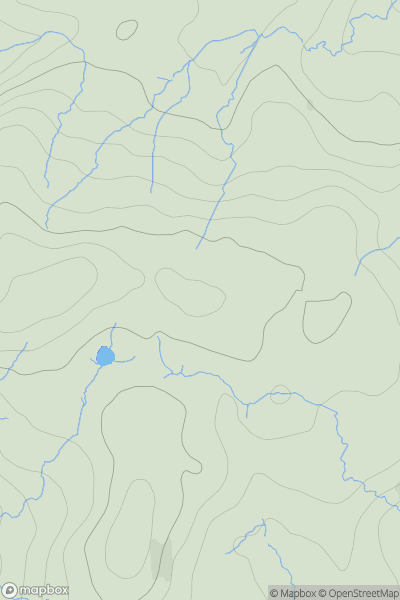
Loch Rannoch to Glen Lyon
0
874.7User Activity
No recent Activity
.png)
0
Ascents
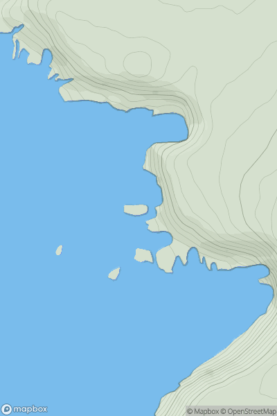
Blue Stack Mountains
0
175.0User Activity
No recent Activity
0
Ascents
South-West Wales
0
32.0User Activity
No recent Activity
0
Ascents
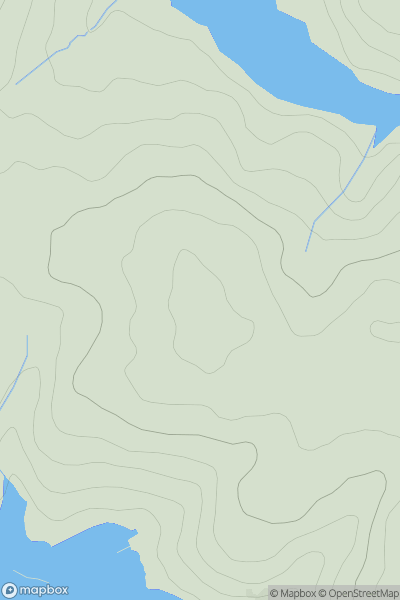
Lake District S
0
321.0User Activity
No recent Activity
0
Ascents
South West England
0
74.8User Activity
No recent Activity