


0
Ascents

 Carrick and Galloway
 0
0 286.0
286.0User Activity
No recent Activity
0
Ascents
Central Scotland from Dumbarton to Montrose
0
266.0User Activity
No recent Activity
0
Ascents
Tomintoul to Banff
0
480.0User Activity
No recent Activity
0
Ascents
South-East Skye and Scalpay
0
92.0User Activity
No recent Activity
0
Ascents
Lake District C&W
0
653.1User Activity
No recent Activity
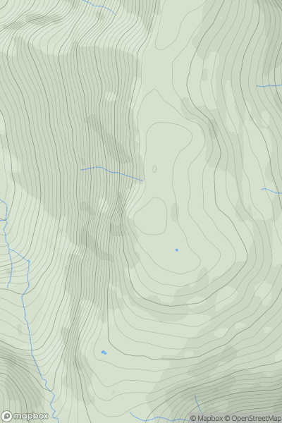
![Thumbnail image for Beinn na Caillich [Islay] showing contour plot for surrounding peak](/static/img/mountains_img_db/11384_Beinn_na_Caillich_[Islay].png)
0
Ascents
Islay
0
332.0User Activity
No recent Activity