


0
Ascents

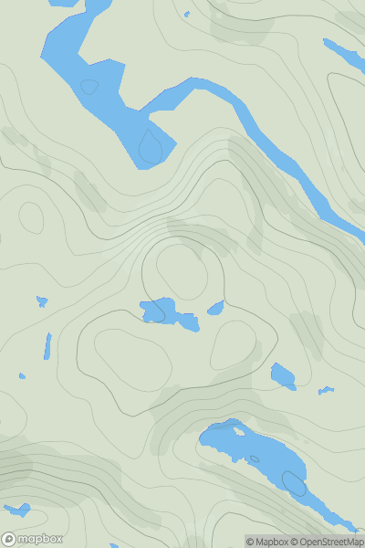
 Lochinver to Ullapool
 0
0 230.0
230.0User Activity
No recent Activity
![Thumbnail image for Tower Hill [Kyle of Lochalsh to Garve] showing contour plot for surrounding peak](/static/img/mountains_img_db/8957_Tower_Hill_[Kyle_of_Lochalsh_to_Garve].png)
0
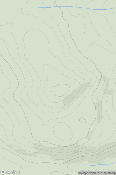
Ascents
Kyle of Lochalsh to Garve
0
161.0User Activity
No recent Activity
0
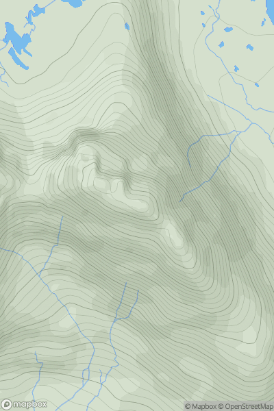
Ascents
Bala to Welshpool
0
548.0User Activity
No recent Activity
0
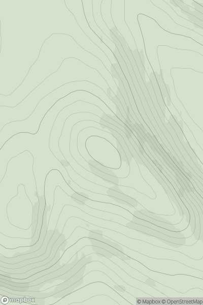
Ascents
Loch Torridon to Loch Maree
0
858.0User Activity
No recent Activity

0
Ascents
Carrick and Galloway
0
602.0User Activity
No recent Activity
0
Ascents
The Glenkens to Annandale
0
314.0User Activity
No recent Activity