


0
Ascents

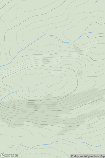
 Bala to Welshpool
 0
0 341.4
341.4User Activity
No recent Activity
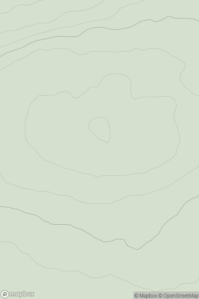
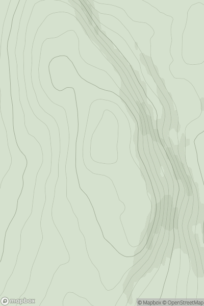
![Thumbnail image for An Sidhean [Inveraray to Crianlarich] showing contour plot for surrounding peak](/static/img/mountains_img_db/8092_An_Sidhean_[Inveraray_to_Crianlarich].png)
0
Ascents
Inveraray to Crianlarich
0
298.0User Activity
No recent Activity
0
Ascents
Central Scotland from Dumbarton to Montrose
0
132.0User Activity
No recent Activity
0
Ascents
Shetland Islands
0
107.0User Activity
No recent Activity
0
Ascents
Carrick and Galloway
0
278.4User Activity
No recent Activity
0
Ascents
Loch Tay to Perth
0
532.0User Activity
No recent Activity