

_(Inis_Toirc).png)


0
Ascents

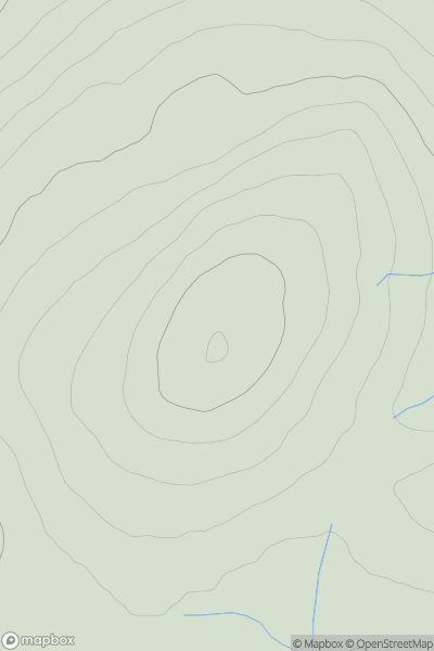
 South Mayo and Central Galway
 0
0 189.3
189.3User Activity
No recent Activity
0
Ascents
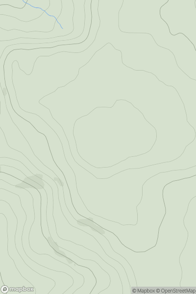
Glen Albyn and the Monadh Liath
0
761.9User Activity
No recent Activity
0
Ascents
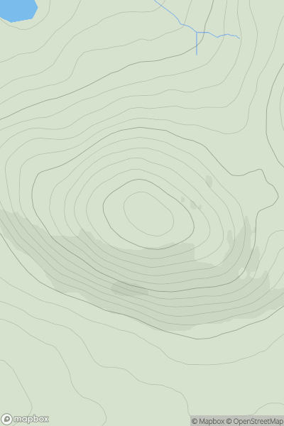
Lancashire, Cheshire and S Pennines
0
286.0User Activity
No recent Activity
0
Ascents
North Uist, South Uist and Nearby Islands
0
171.0User Activity
No recent Activity
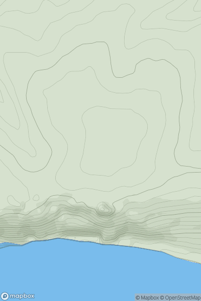
![Thumbnail image for Blackhall Hill [The River Tweed to the English Border] [NT780117] showing contour plot for surrounding peak](/static/img/mountains_img_db/13773_Blackhall_Hill_[The_River_Tweed_to_the_English_Border]_[NT780117].png)
0
Ascents
The River Tweed to the English Border
0
481.0User Activity
No recent Activity
0
Ascents
South Central England
0
178.0User Activity
No recent Activity