

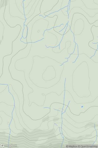
![Thumbnail image for Seefin (Sui Finn) [Galty Mountains] [W678942] showing contour plot for surrounding peak](/static/img/mountains_img_db/21223_Seefin_(Sui_Finn)_[Galty_Mountains]_[W678942].png)


0
Ascents

 Galty Mountains
 0
0 424.0
424.0User Activity
No recent Activity
![Thumbnail image for Hangman's Hill [Welsh Borders S] showing contour plot for surrounding peak](/static/img/mountains_img_db/17160_Hangman's_Hill_[Welsh_Borders_S].png)
0
Ascents
Welsh Borders S
0
180.0User Activity
No recent Activity
![Thumbnail image for Newton Hill [Inveraray to Crianlarich] showing contour plot for surrounding peak](/static/img/mountains_img_db/8061_Newton_Hill_[Inveraray_to_Crianlarich].png)
0
Ascents
Inveraray to Crianlarich
0
422.0User Activity
No recent Activity
0
Ascents
Snowdonia
0
282.0User Activity
No recent Activity
0
Ascents
Lancashire, Cheshire and S Pennines
0
393.0User Activity
No recent Activity
![Thumbnail image for Craigend Hill [Firth of Forth to the River Tweed] showing contour plot for surrounding peak](/static/img/mountains_img_db/13951_Craigend_Hill_[Firth_of_Forth_to_the_River_Tweed].png)
0
Ascents
Firth of Forth to the River Tweed
0
374.0User Activity
No recent Activity