


0
Ascents

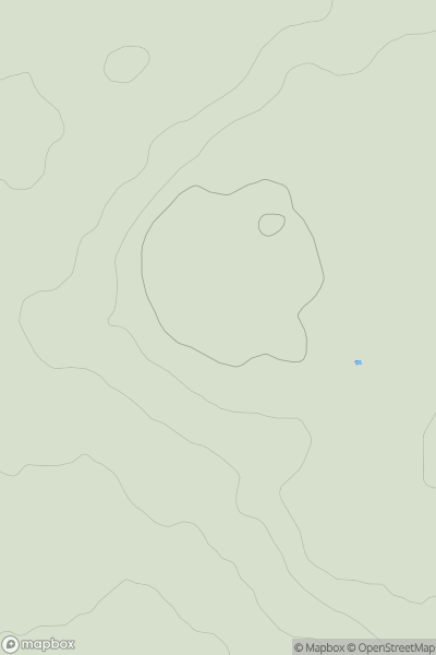
 Central Pennines
 0
0 104.0
104.0User Activity
No recent Activity
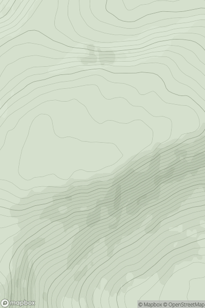
![Thumbnail image for Mains Hill [Firth of Forth to the River Tweed] showing contour plot for surrounding peak](/static/img/mountains_img_db/5095_Mains_Hill_[Firth_of_Forth_to_the_River_Tweed].png)
0
Ascents
Firth of Forth to the River Tweed
0
354.0User Activity
No recent Activity
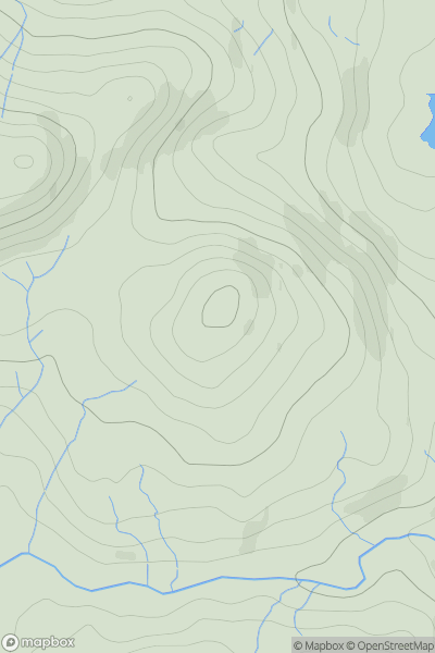
![Thumbnail image for White Hill [The River Tweed to the English Border] [NS944251] showing contour plot for surrounding peak](/static/img/mountains_img_db/13897_White_Hill_[The_River_Tweed_to_the_English_Border]_[NS944251].png)
0
Ascents
The River Tweed to the English Border
0
412.0User Activity
No recent Activity
0
Ascents
Maumturk Mountains
0
353.0User Activity
No recent Activity
0
Ascents
Lake District C&W
0
203.0User Activity
No recent Activity
0
Ascents
Shetland Islands
0
30.0User Activity
No recent Activity