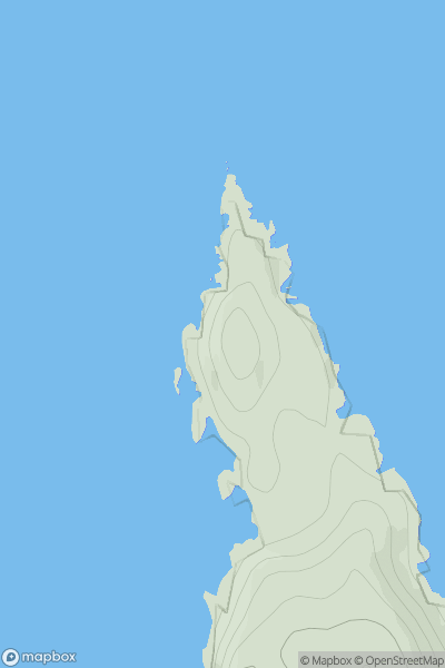
Ariel drone view of mountainous landscape with rolling clouds flowing over peak

Journal your hikes and share your adventures.

Bag peaks across the UK & Ireland, track your progress and see updates from Donder's growing community of hikers.

Donder's profile view available to users after sign-up, shows example user with progress tracking, hiking journal and user leaderboard

Thumbnail image for Cnoc Rubha Rollanais showing contour plot for surrounding peak
SCO
Icon of location pin
47m
Icon of vertical, double ended, arrow to symbolise height of mountain

Cnoc Rubha Rollanais

Icon of mountain used to symbolise the number of ascents made by users

0
Ascents

Thumbnail image for Swell Hill showing contour plot for surrounding peak
ENG
Icon of location pin
235m
Icon of vertical, double ended, arrow to symbolise height of mountain

Swell Hill

Icon of mountain used to symbolise the number of ascents made by users

0
Ascents

Thumbnail image for Hill of Oxnabool showing contour plot for surrounding peak
SCO
Icon of location pin
204m
Icon of vertical, double ended, arrow to symbolise height of mountain

Hill of Oxnabool

Icon of mountain used to symbolise the number of ascents made by users

0
Ascents

Thumbnail image for Scar Lathing showing contour plot for surrounding peak
ENG
Icon of location pin
439m
Icon of vertical, double ended, arrow to symbolise height of mountain

Scar Lathing

Icon of mountain used to symbolise the number of ascents made by users

0
Ascents

Thumbnail image for Loughaskerry showing contour plot for surrounding peak
IRE
Icon of location pin
252m
Icon of vertical, double ended, arrow to symbolise height of mountain

Loughaskerry

Icon of mountain used to symbolise the number of ascents made by users

0
Ascents

Thumbnail image for Fron Hir showing contour plot for surrounding peak
WLS
Icon of location pin
395m
Icon of vertical, double ended, arrow to symbolise height of mountain

Fron Hir

Icon of mountain used to symbolise the number of ascents made by users

0
Ascents