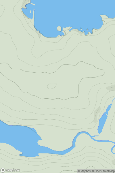
Ariel drone view of mountainous landscape with rolling clouds flowing over peak

Journal your hikes and share your adventures.

Bag peaks across the UK & Ireland, track your progress and see updates from Donder's growing community of hikers.

Donder's profile view available to users after sign-up, shows example user with progress tracking, hiking journal and user leaderboard

Thumbnail image for Cnoc an Aingil showing contour plot for surrounding peak
SCO
Icon of location pin
149m
Icon of vertical, double ended, arrow to symbolise height of mountain

Cnoc an Aingil

Icon of mountain used to symbolise the number of ascents made by users

0
Ascents

Thumbnail image for Ynys Berfedd showing contour plot for surrounding peak
WLS
Icon of location pin
43m
Icon of vertical, double ended, arrow to symbolise height of mountain

Ynys Berfedd

Icon of mountain used to symbolise the number of ascents made by users

0
Ascents

Thumbnail image for Balmurrie Fell showing contour plot for surrounding peak
SCO
Icon of location pin
248m
Icon of vertical, double ended, arrow to symbolise height of mountain

Balmurrie Fell

Icon of mountain used to symbolise the number of ascents made by users

0
Ascents

Thumbnail image for Moel Hywel showing contour plot for surrounding peak
WLS
Icon of location pin
505m
Icon of vertical, double ended, arrow to symbolise height of mountain

Moel Hywel

Icon of mountain used to symbolise the number of ascents made by users

0
Ascents

Thumbnail image for Trenance Hill showing contour plot for surrounding peak
ENG
Icon of location pin
62m
Icon of vertical, double ended, arrow to symbolise height of mountain

Trenance Hill

Icon of mountain used to symbolise the number of ascents made by users

0
Ascents

Thumbnail image for Goetre Hill showing contour plot for surrounding peak
WLS
Icon of location pin
316m
Icon of vertical, double ended, arrow to symbolise height of mountain

Goetre Hill

Icon of mountain used to symbolise the number of ascents made by users

0
Ascents