


0
Ascents

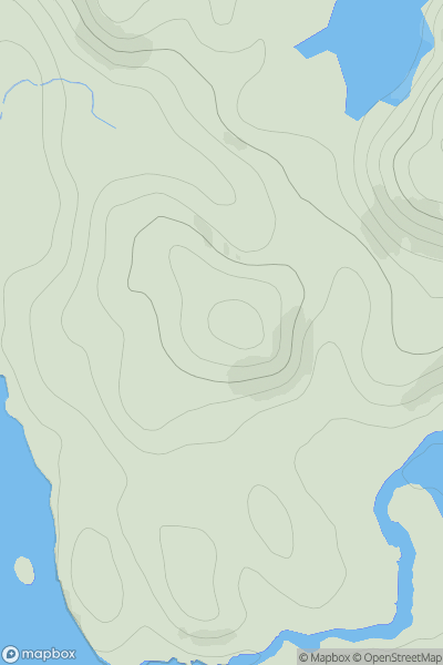
 Mallaig to Fort William
 0
0 84.0
84.0User Activity
No recent Activity
0
Ascents
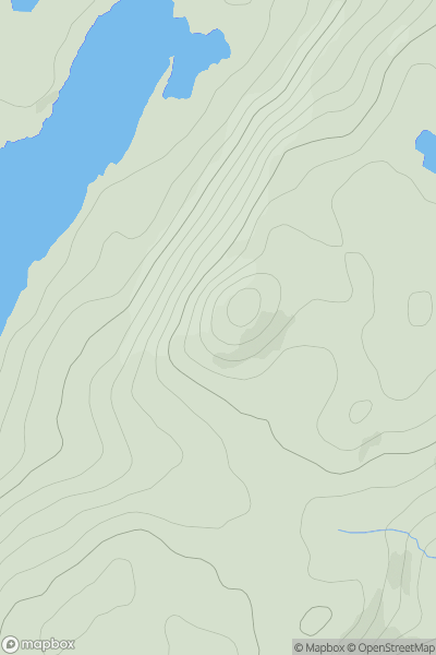
Oban to Loch Fyne
0
408.0User Activity
No recent Activity
0
Ascents
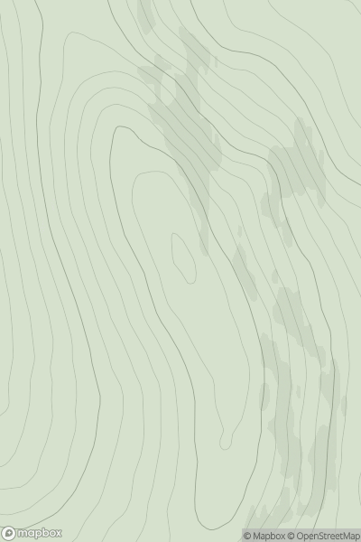
Glen Tromie to Glen Tilt
0
624.9User Activity
No recent Activity
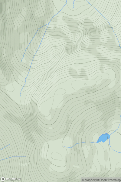
![Thumbnail image for Bryn-mawr [Snowdonia] showing contour plot for surrounding peak](/static/img/mountains_img_db/14790_Bryn-mawr_[Snowdonia].png)
0
Ascents
Snowdonia
0
144.1User Activity
No recent Activity
0
Ascents
Loch Lomond to Strathyre
0
937.9User Activity
No recent Activity
0
Ascents
North Skye and Raasay
0
346.0User Activity
No recent Activity