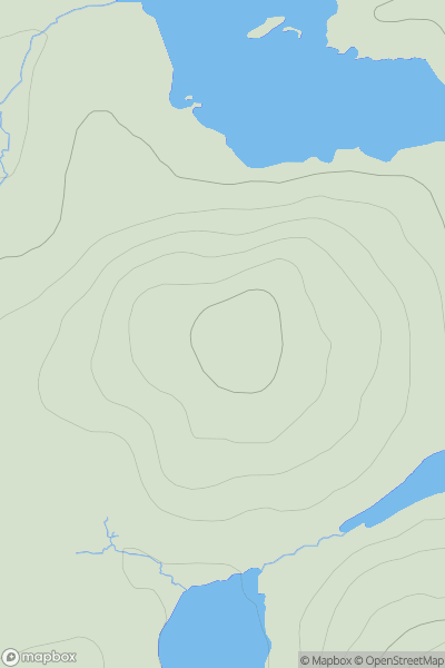
Ariel drone view of mountainous landscape with rolling clouds flowing over peak

Journal your hikes and share your adventures.

Bag peaks across the UK & Ireland, track your progress and see updates from Donder's growing community of hikers.

Donder's profile view available to users after sign-up, shows example user with progress tracking, hiking journal and user leaderboard

Thumbnail image for Cross Slieve (Croisshliabh) showing contour plot for surrounding peak
IRE
Icon of location pin
206m
Icon of vertical, double ended, arrow to symbolise height of mountain

Cross Slieve (Croisshliabh)

Icon of mountain used to symbolise the number of ascents made by users

0
Ascents

Thumbnail image for Cowan Head showing contour plot for surrounding peak
ENG
Icon of location pin
141m
Icon of vertical, double ended, arrow to symbolise height of mountain

Cowan Head

Icon of mountain used to symbolise the number of ascents made by users

0
Ascents

Thumbnail image for Pen yr Esgair showing contour plot for surrounding peak
WLS
Icon of location pin
323m
Icon of vertical, double ended, arrow to symbolise height of mountain

Pen yr Esgair

Icon of mountain used to symbolise the number of ascents made by users

0
Ascents

Thumbnail image for An Curran showing contour plot for surrounding peak
SCO
Icon of location pin
76m
Icon of vertical, double ended, arrow to symbolise height of mountain

An Curran

Icon of mountain used to symbolise the number of ascents made by users

0
Ascents

Thumbnail image for Creag na Fionndalach showing contour plot for surrounding peak
SCO
Icon of location pin
135m
Icon of vertical, double ended, arrow to symbolise height of mountain

Creag na Fionndalach

Icon of mountain used to symbolise the number of ascents made by users

0
Ascents

Thumbnail image for Steiseal showing contour plot for surrounding peak
SCO
Icon of location pin
116m
Icon of vertical, double ended, arrow to symbolise height of mountain

Steiseal

Icon of mountain used to symbolise the number of ascents made by users

0
Ascents