


0
Ascents

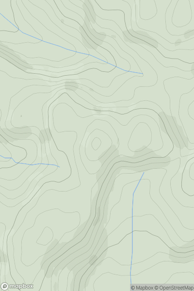
 South-West Wales
 0
0 447.0
447.0User Activity
No recent Activity
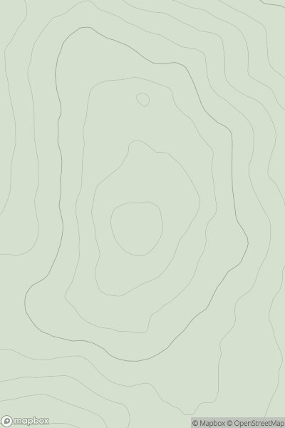
![Thumbnail image for Mullach Buidhe [Arran and Holy Island] showing contour plot for surrounding peak](/static/img/mountains_img_db/3312_Mullach_Buidhe_[Arran_and_Holy_Island].png)
0
Ascents
Arran and Holy Island
0
829.0User Activity
No recent Activity
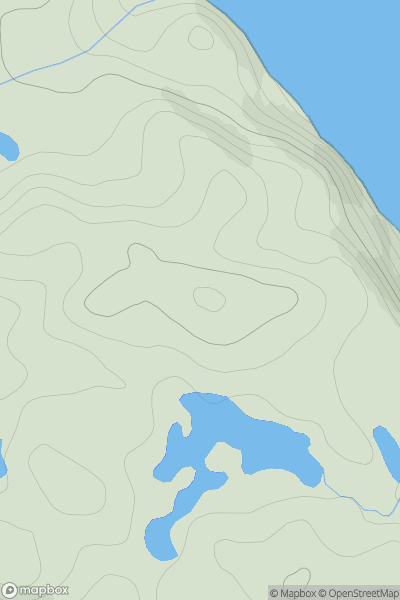
![Thumbnail image for Ben More [Loch Lomond to Strathyre] showing contour plot for surrounding peak](/static/img/mountains_img_db/26_Ben_More_[Loch_Lomond_to_Strathyre].png)
0
Ascents
Loch Lomond to Strathyre
0
1174.0User Activity
No recent Activity
0
Ascents
Firth of Forth to the River Tweed
0
382.0User Activity
No recent Activity
0
Ascents
Cape Wrath Peninsula
0
121.0User Activity
No recent Activity
0
Ascents
Llandovery to Monmouth
0
413.2User Activity
No recent Activity