

.png)


0
Ascents

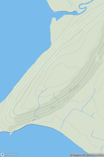
 Iveragh Peninsula N
 0
0 651.0
651.0User Activity
No recent Activity
0
Ascents
Fort William to Loch Treig & Loch Leven
0
95.0User Activity
No recent Activity
0
Ascents
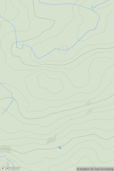
North Pennines
0
587.0User Activity
No recent Activity
.png)
0
Ascents
Lake District N
0
502.0User Activity
No recent Activity
0
Ascents
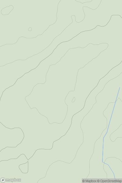
Anglesey and the Lleyn Peninsula
0
116.0User Activity
No recent Activity
0
Ascents
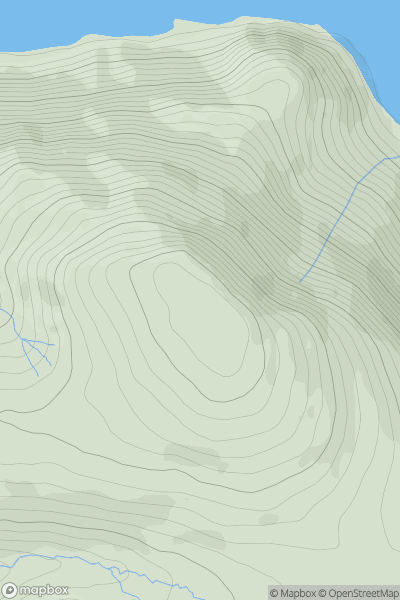
Lake District C&W
0
523.0User Activity
No recent Activity