

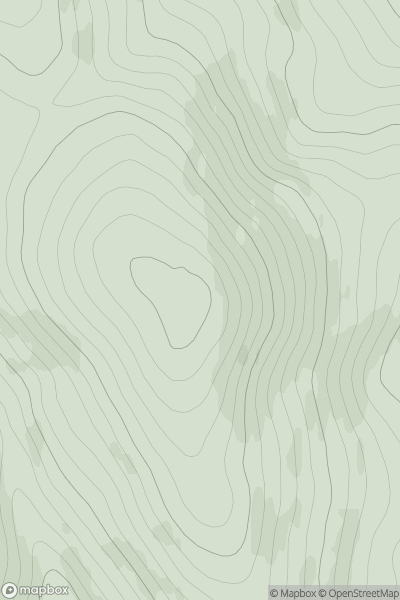
![Thumbnail image for An Torr [Glen Albyn and the Monadh Liath] showing contour plot for surrounding peak](/static/img/mountains_img_db/8582_An_Torr_[Glen_Albyn_and_the_Monadh_Liath].png)


0
Ascents

 Glen Albyn and the Monadh Liath
 0
0 309.0
309.0User Activity
No recent Activity
0
Ascents
Tomintoul to Banff
0
557.0User Activity
No recent Activity
0
Ascents
Loch Fyne to Bute and the Firth of Clyde
0
162.0User Activity
No recent Activity
0
Ascents
Fraserburgh to the Dee Valley
0
196.0User Activity
No recent Activity
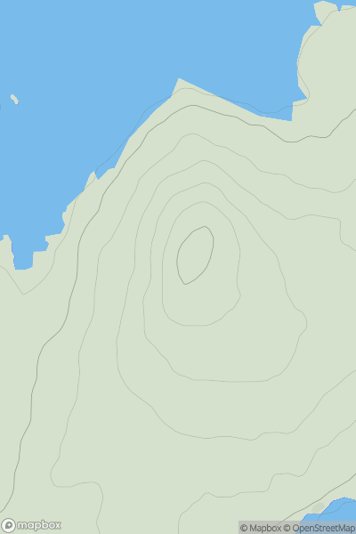
![Thumbnail image for Y Drum [Aberystwyth to Welshpool] showing contour plot for surrounding peak](/static/img/mountains_img_db/14911_Y_Drum_[Aberystwyth_to_Welshpool].png)
0
Ascents
Aberystwyth to Welshpool
0
462.0User Activity
No recent Activity
0
Ascents
Carrick and Galloway
0
350.0User Activity
No recent Activity