


0
Ascents

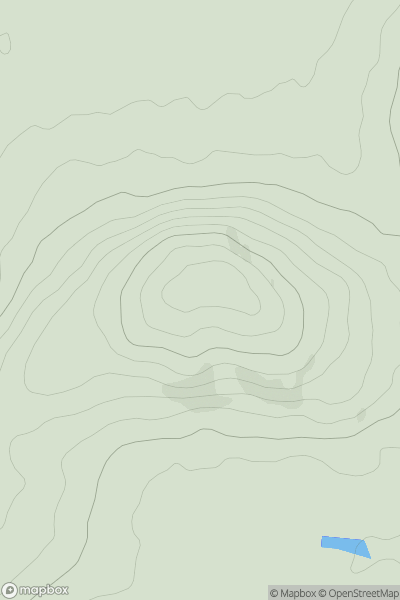
 Slieve Bloom Mountains
 0
0 233.0
233.0User Activity
No recent Activity
0
Ascents
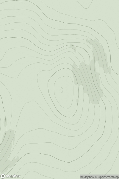
Lewis and Nearby Islands
0
280.0User Activity
No recent Activity
0
Ascents
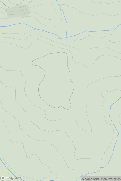
South West England
0
111.0User Activity
No recent Activity
0
Ascents
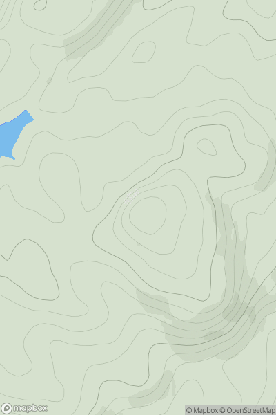
Oban to Loch Fyne
0
195.0User Activity
No recent Activity

0
Ascents
Inverness to Strathspey
0
369.0User Activity
No recent Activity
0
Ascents
Tongue to Wick and Helmsdale
0
470.0User Activity
No recent Activity