


0
Ascents

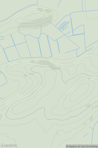
 Snowdonia
 0
0 87.3
87.3User Activity
No recent Activity
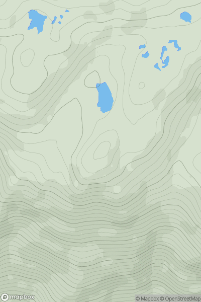
![Thumbnail image for North Hill [Welsh Borders S] showing contour plot for surrounding peak](/static/img/mountains_img_db/16977_North_Hill_[Welsh_Borders_S].png)
0
Ascents
Welsh Borders S
0
397.0User Activity
No recent Activity
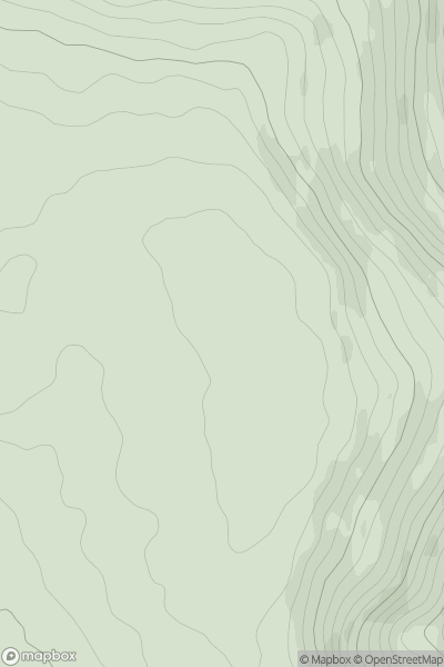
![Thumbnail image for White Hill [The River Tweed to the English Border] [NT526118] showing contour plot for surrounding peak](/static/img/mountains_img_db/14101_White_Hill_[The_River_Tweed_to_the_English_Border]_[NT526118].png)
0
Ascents
The River Tweed to the English Border
0
302.0User Activity
No recent Activity
0
Ascents
Mallaig to Fort William
0
541.0User Activity
No recent Activity
0
Ascents
Neath to Chepstow
0
448.0User Activity
No recent Activity
![Thumbnail image for Am Bodach [Loch Leven to Rannoch Station] showing contour plot for surrounding peak](/static/img/mountains_img_db/180_Am_Bodach_[Loch_Leven_to_Rannoch_Station].png)
0
Ascents
Loch Leven to Rannoch Station
0
941.9User Activity
No recent Activity