

.png)


0
Ascents

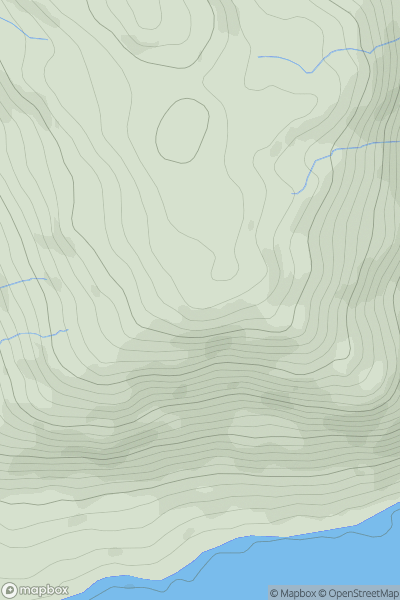
 Galty Mountains
 0
0 353.3
353.3User Activity
No recent Activity
![Thumbnail image for Beinn Bheag [North Uist, South Uist and Nearby Islands] showing contour plot for surrounding peak](/static/img/mountains_img_db/12493_Beinn_Bheag_[North_Uist,_South_Uist_and_Nearby_Islands].png)
0
Ascents
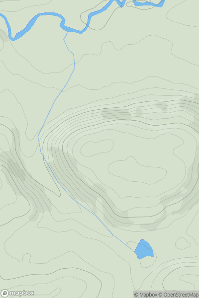
North Uist, South Uist and Nearby Islands
0
107.0User Activity
No recent Activity
0
Ascents
Lake District E
0
439.0User Activity
No recent Activity

0
Ascents
Tongue to Wick and Helmsdale
0
256.0User Activity
No recent Activity
0
Ascents
Welshpool to Hay-on-Wye
0
282.0User Activity
No recent Activity
![Thumbnail image for Muckle Knowe [Northumberland] showing contour plot for surrounding peak](/static/img/mountains_img_db/15959_Muckle_Knowe_[Northumberland].png)
0
Ascents
Northumberland
0
382.0User Activity
No recent Activity