


0
Ascents

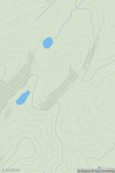
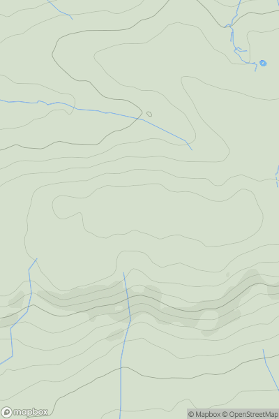
 Oban to Loch Fyne
 0
0 139.0
139.0User Activity
No recent Activity
0
Ascents
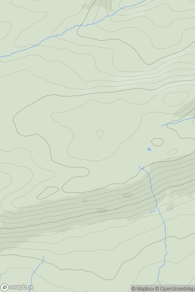
Neath to Chepstow
0
272.0User Activity
No recent Activity
0
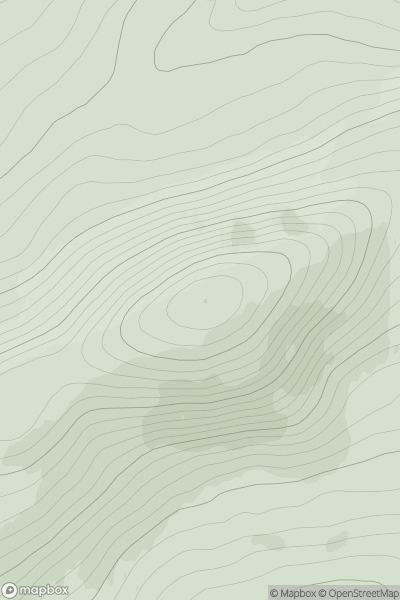
Ascents
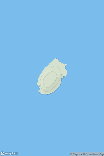
Shetland Islands
0
30.0User Activity
No recent Activity
0
Ascents
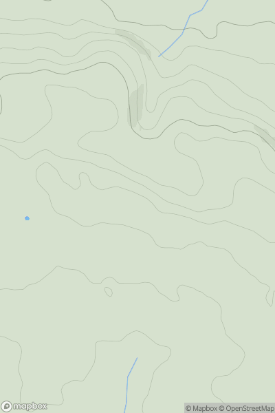
Neath to Chepstow
0
135.2User Activity
No recent Activity
0
Ascents
South-West Wales
0
147.0User Activity
No recent Activity
0
Ascents
Tongue to Wick and Helmsdale
0
535.0User Activity
No recent Activity