


0
Ascents

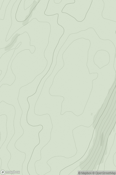
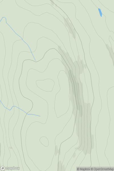
 Oban to Loch Fyne
 0
0 233.0
233.0User Activity
No recent Activity
0
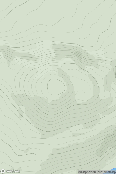
Ascents
Cairngorms
0
560.0User Activity
No recent Activity
0
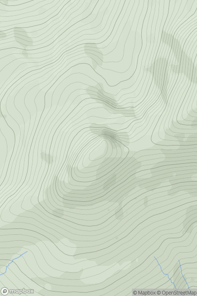
Ascents
Fort William to Loch Treig & Loch Leven
0
963.0User Activity
No recent Activity
0
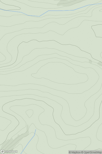
Ascents
South-West Wales
0
151.0User Activity
No recent Activity
0
Ascents
North Skye and Raasay
0
385.0User Activity
No recent Activity
0
Ascents
South Central England
0
49.0User Activity
No recent Activity