


0
Ascents

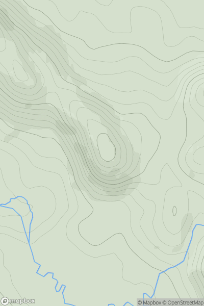
 Loch Torridon to Loch Maree
 0
0 325.0
325.0User Activity
No recent Activity
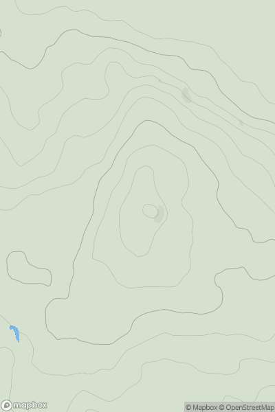
![Thumbnail image for Cnoc na Moine [Durness to Loch Shin] showing contour plot for surrounding peak](/static/img/mountains_img_db/9817_Cnoc_na_Moine_[Durness_to_Loch_Shin].png)
0
Ascents
Durness to Loch Shin
0
143.0User Activity
No recent Activity
0
Ascents
Loch Tay to Perth
0
621.0User Activity
No recent Activity
0
Ascents
Lancashire, Cheshire and S Pennines
0
177.1User Activity
No recent Activity
0
Ascents
Loch Lomond to Strathyre
0
333.0User Activity
No recent Activity
0
Ascents
South West England
0
44.1User Activity
No recent Activity