


0
Ascents

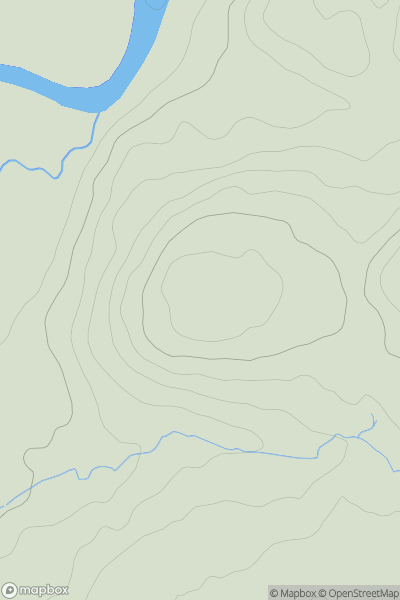
 Llandovery to Monmouth
 0
0 170.0
170.0User Activity
No recent Activity
![Thumbnail image for Black Hill [Braemar to Montrose] [NO163718] showing contour plot for surrounding peak](/static/img/mountains_img_db/4104_Black_Hill_[Braemar_to_Montrose]_[NO163718].png)
0
Ascents
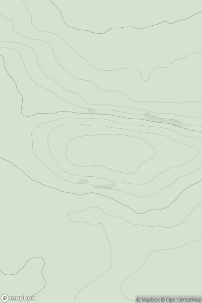
Braemar to Montrose
0
755.7User Activity
No recent Activity
.png)
0
Ascents
Glen Lyon to Glen Dochart & Loch Tay
0
921.6User Activity
No recent Activity
![Thumbnail image for Round Hill [Lancashire, Cheshire and S Pennines] showing contour plot for surrounding peak](/static/img/mountains_img_db/16837_Round_Hill_[Lancashire,_Cheshire_and_S_Pennines].png)
0
Ascents
Lancashire, Cheshire and S Pennines
0
114.0User Activity
No recent Activity
.png)
0
Ascents
Blue Stack Mountains
0
418.0User Activity
No recent Activity
0
Ascents
Firth of Forth to the River Tweed
0
138.0User Activity
No recent Activity