

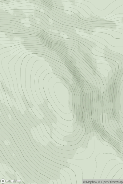
![Thumbnail image for Beinn a' Deas [North Uist, South Uist and Nearby Islands] showing contour plot for surrounding peak](/static/img/mountains_img_db/12494_Beinn_a'_Deas_[North_Uist,_South_Uist_and_Nearby_Islands].png)


0
Ascents

 North Uist, South Uist and Nearby Islands
 0
0 105.0
105.0User Activity
No recent Activity
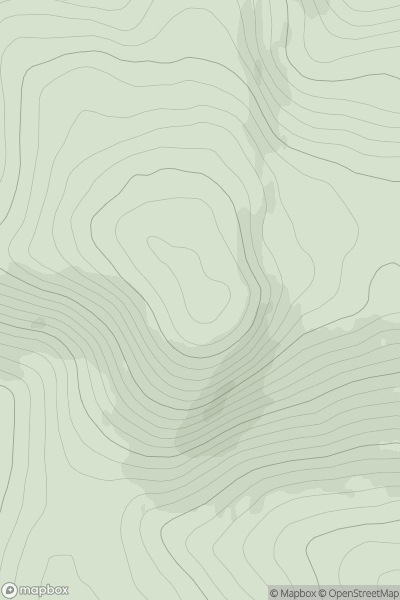
![Thumbnail image for Creag Mhor [Lewis and Nearby Islands] showing contour plot for surrounding peak](/static/img/mountains_img_db/19709_Creag_Mhor_[Lewis_and_Nearby_Islands].png)
0
Ascents
Lewis and Nearby Islands
0
39.0User Activity
No recent Activity
0
Ascents
The Fannaichs
0
934.0User Activity
No recent Activity
0
Ascents
Pitlochry to Braemar & Blairgowrie
0
976.1User Activity
No recent Activity
0
Ascents
Harris and Nearby Islands
0
391.0User Activity
No recent Activity
0
Ascents
South East England
0
172.0User Activity
No recent Activity