

.png)


0
Ascents

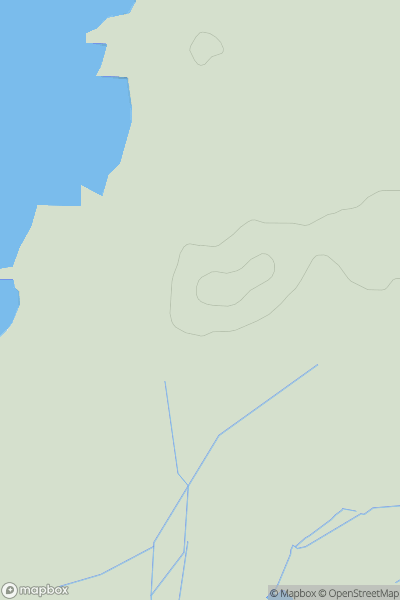
 North Pennines
 0
0 547.0
547.0User Activity
No recent Activity
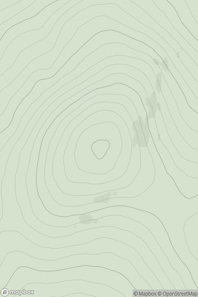
![Thumbnail image for Windmill Hill [Central and Eastern England] showing contour plot for surrounding peak](/static/img/mountains_img_db/19307_Windmill_Hill_[Central_and_Eastern_England].png)
0
Ascents
Central and Eastern England
0
195.5User Activity
No recent Activity
0
Ascents
Coll and Tiree
0
36.0User Activity
No recent Activity
0
Ascents
Braemar to Montrose
0
404.0User Activity
No recent Activity
0
Ascents
Firth of Forth to the River Tweed
0
425.0User Activity
No recent Activity
0
Ascents
Fort William to Loch Treig & Loch Leven
0
1177.0User Activity
No recent Activity