


0
Ascents

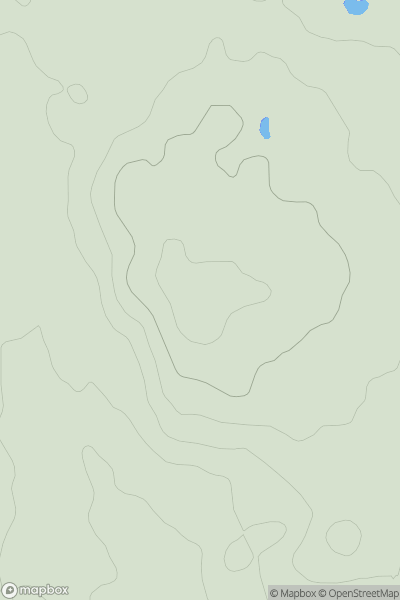
 Shropshire
 0
0 166.0
166.0User Activity
No recent Activity
0
Ascents
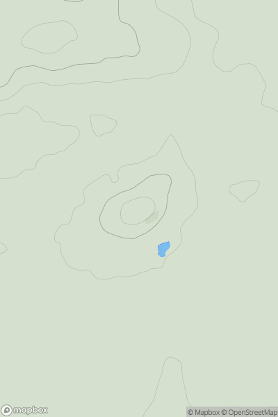
Central and Eastern England
0
170.0User Activity
No recent Activity
0
Ascents
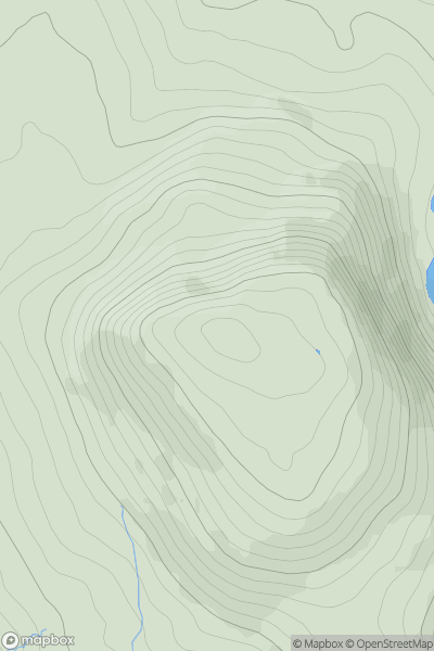
Barmouth to Betws-y-Coed and Bala
0
689.0User Activity
No recent Activity
0
Ascents
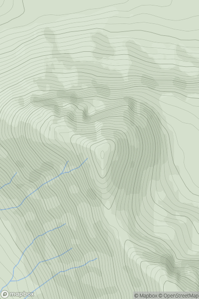
Loch Torridon to Loch Maree
0
888.1User Activity
No recent Activity
0
Ascents
Sperrin Mountains
0
378.0User Activity
No recent Activity
0
Ascents
North Pennines
0
426.2User Activity
No recent Activity