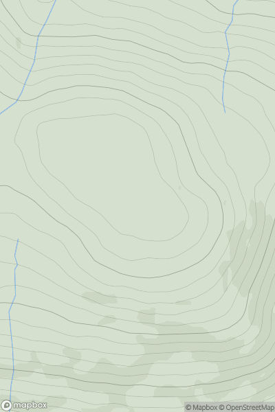
Ariel drone view of mountainous landscape with rolling clouds flowing over peak

Journal your hikes and share your adventures.

Bag peaks across the UK & Ireland, track your progress and see updates from Donder's growing community of hikers.

Donder's profile view available to users after sign-up, shows example user with progress tracking, hiking journal and user leaderboard

Thumbnail image for Rubha Mor [Loch Long to Loch Lomond] showing contour plot for surrounding peak
SCO
Icon of location pin
192m
Icon of vertical, double ended, arrow to symbolise height of mountain

Rubha Mor [Loch Long to Loch Lomond]

Icon of mountain used to symbolise the number of ascents made by users

0
Ascents

Thumbnail image for Meall Crumach showing contour plot for surrounding peak
SCO
Icon of location pin
680m
Icon of vertical, double ended, arrow to symbolise height of mountain

Meall Crumach

Icon of mountain used to symbolise the number of ascents made by users

0
Ascents

Thumbnail image for Cyrnau showing contour plot for surrounding peak
WLS
Icon of location pin
454m
Icon of vertical, double ended, arrow to symbolise height of mountain

Cyrnau

Icon of mountain used to symbolise the number of ascents made by users

0
Ascents

Thumbnail image for Bere Hill showing contour plot for surrounding peak
ENG
Icon of location pin
127m
Icon of vertical, double ended, arrow to symbolise height of mountain

Bere Hill

Icon of mountain used to symbolise the number of ascents made by users

0
Ascents

Thumbnail image for Gyrn Goch showing contour plot for surrounding peak
WLS
Icon of location pin
490m
Icon of vertical, double ended, arrow to symbolise height of mountain

Gyrn Goch

Icon of mountain used to symbolise the number of ascents made by users

0
Ascents

Thumbnail image for Creagan Ruadh showing contour plot for surrounding peak
SCO
Icon of location pin
704m
Icon of vertical, double ended, arrow to symbolise height of mountain

Creagan Ruadh

Icon of mountain used to symbolise the number of ascents made by users

0
Ascents