


0
Ascents

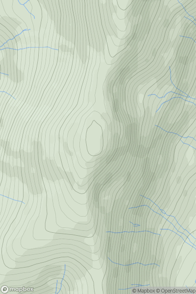
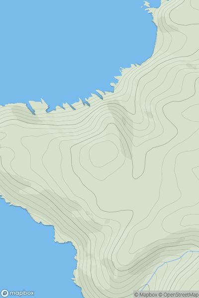
 Lake District E
 0
0 766.4
766.4User Activity
No recent Activity
0
Ascents
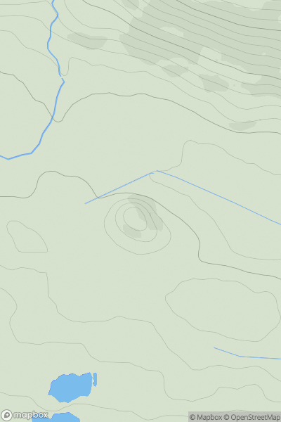
Central Scotland from Dumbarton to Montrose
0
153.0User Activity
No recent Activity
0
Ascents
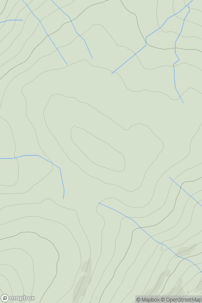
North Pennines
0
597.0User Activity
No recent Activity
0
Ascents
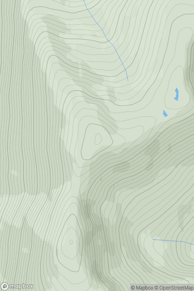
Loch Duich to Cannich
0
974.0User Activity
No recent Activity
0
Ascents
South West England
0
137.0User Activity
No recent Activity
0
Ascents
Loch Linnhe to Loch Etive
0
550.0User Activity
No recent Activity