


0
Ascents

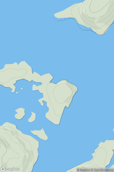
 Scourie to Lairg
 0
0 38.0
38.0User Activity
No recent Activity
0
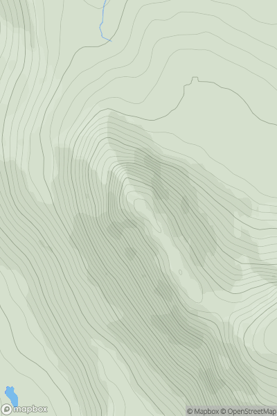
Ascents
Loch Maree to Loch Broom
0
761.0User Activity
No recent Activity
.png)
0
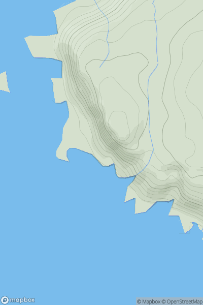
Ascents
Blue Stack Mountains
0
400.0User Activity
No recent Activity
0
Ascents
Canna, Rhum and Eigg
0
130.0User Activity
No recent Activity

0
Ascents
Knapdale and Kintyre
0
407.0User Activity
No recent Activity
0
Ascents
Central and Eastern England
0
91.0User Activity
No recent Activity