


0
Ascents

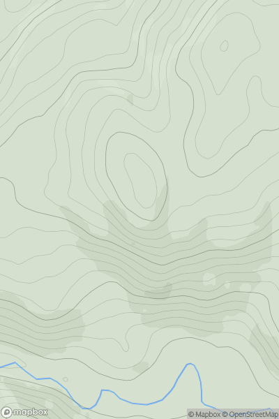
 Oban to Loch Fyne
 0
0 221.0
221.0User Activity
No recent Activity
.png)
0
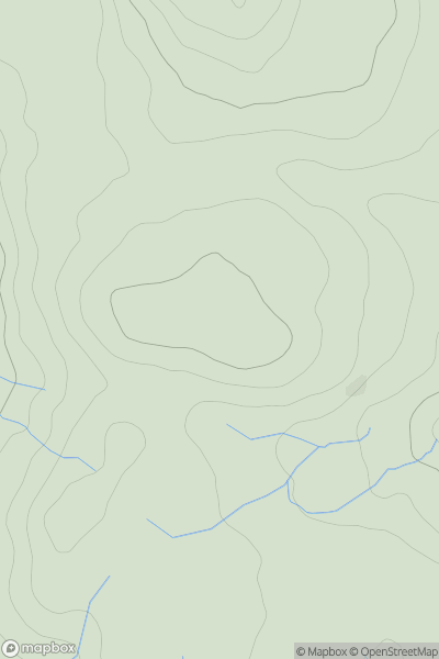
Ascents
Iveragh Peninsula S
0
459.0User Activity
No recent Activity
0
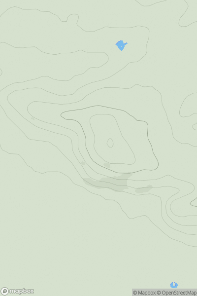
Ascents
Central Pennines
0
410.1User Activity
No recent Activity
0
Ascents
South Central England
0
72.0User Activity
No recent Activity
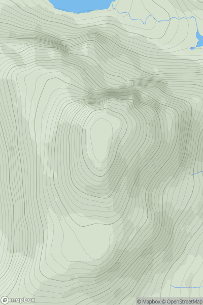
![Thumbnail image for Cairn Hill [Carrick and Galloway] [NX038538] showing contour plot for surrounding peak](/static/img/mountains_img_db/13622_Cairn_Hill_[Carrick_and_Galloway]_[NX038538].png)
0
Ascents
Carrick and Galloway
0
138.5User Activity
No recent Activity
0
Ascents
Applecross to Achnasheen
0
890.4User Activity
No recent Activity