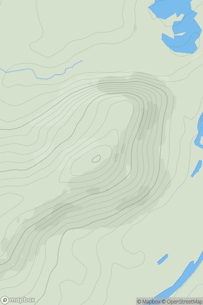
Ariel drone view of mountainous landscape with rolling clouds flowing over peak

Journal your hikes and share your adventures.

Bag peaks across the UK & Ireland, track your progress and see updates from Donder's growing community of hikers.

Donder's profile view available to users after sign-up, shows example user with progress tracking, hiking journal and user leaderboard

Thumbnail image for Torr Alvie showing contour plot for surrounding peak
SCO
Icon of location pin
358m
Icon of vertical, double ended, arrow to symbolise height of mountain

Torr Alvie

Icon of mountain used to symbolise the number of ascents made by users

0
Ascents

Thumbnail image for Dunguile Hill showing contour plot for surrounding peak
SCO
Icon of location pin
212m
Icon of vertical, double ended, arrow to symbolise height of mountain

Dunguile Hill

Icon of mountain used to symbolise the number of ascents made by users

0
Ascents

Thumbnail image for Combe Head showing contour plot for surrounding peak
ENG
Icon of location pin
735m
Icon of vertical, double ended, arrow to symbolise height of mountain

Combe Head

Icon of mountain used to symbolise the number of ascents made by users

0
Ascents

Thumbnail image for Corriehalls Hill showing contour plot for surrounding peak
SCO
Icon of location pin
241m
Icon of vertical, double ended, arrow to symbolise height of mountain

Corriehalls Hill

Icon of mountain used to symbolise the number of ascents made by users

0
Ascents

Thumbnail image for Outer Head showing contour plot for surrounding peak
WLS
Icon of location pin
56m
Icon of vertical, double ended, arrow to symbolise height of mountain

Outer Head

Icon of mountain used to symbolise the number of ascents made by users

0
Ascents

Thumbnail image for Mangerton (An Mhangarta) showing contour plot for surrounding peak
IRE
Icon of location pin
838m
Icon of vertical, double ended, arrow to symbolise height of mountain

Mangerton (An Mhangarta)

Icon of mountain used to symbolise the number of ascents made by users

0
Ascents