


0
Ascents

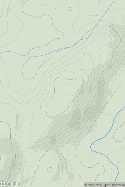
 Oban to Loch Fyne
 0
0 170.0
170.0User Activity
No recent Activity
0
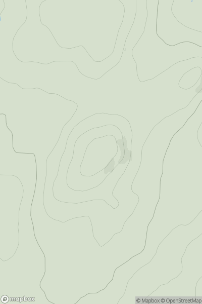
Ascents
Carrick and Galloway
0
205.0User Activity
No recent Activity
0
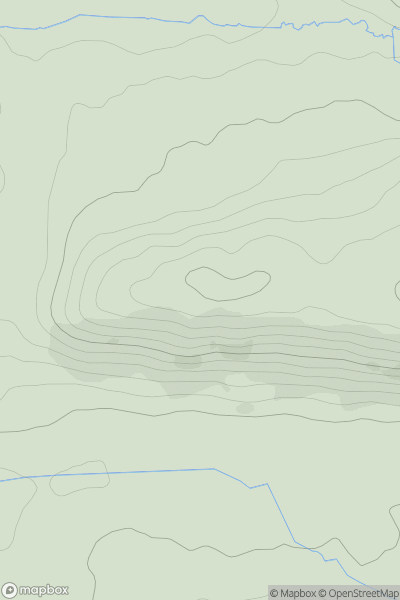
Ascents
Lake District N
0
208.0User Activity
No recent Activity
0
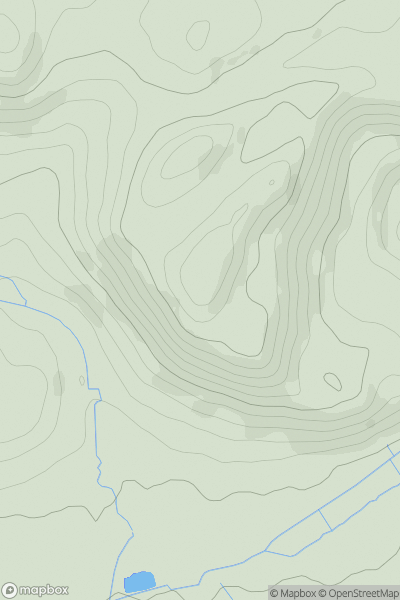
Ascents
Shropshire
0
228.0User Activity
No recent Activity
0
Ascents
The River Tweed to the English Border
0
347.0User Activity
No recent Activity
0
Ascents
South-West Wales
0
41.0User Activity
No recent Activity