


0
Ascents

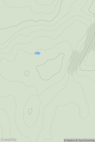
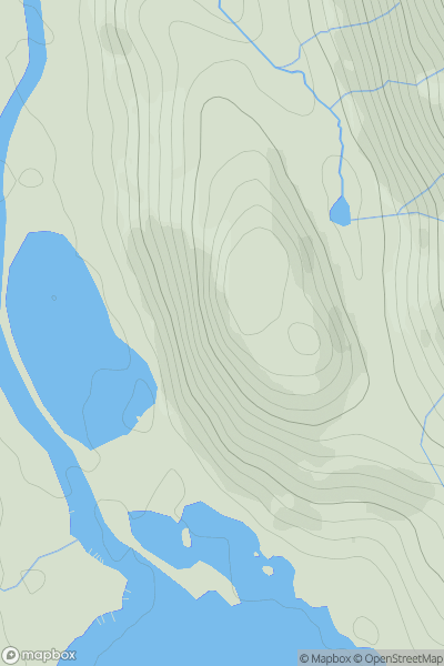
 The Glenkens to Annandale
 0
0 263.0
263.0User Activity
No recent Activity
0
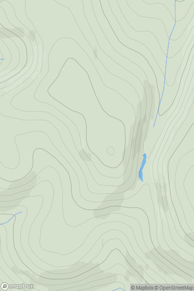
Ascents
Central Scotland from Dumbarton to Montrose
0
412.0User Activity
No recent Activity
0
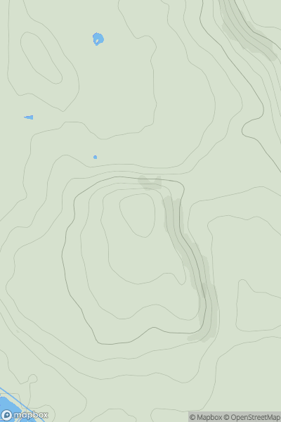
Ascents
South Central England
0
86.0User Activity
No recent Activity
0
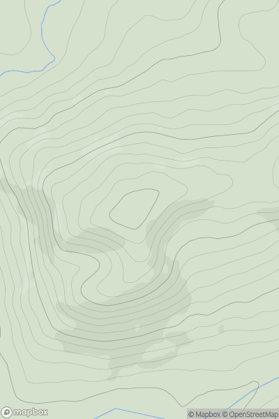
Ascents
Welshpool to Hay-on-Wye
0
417.3User Activity
No recent Activity
0
Ascents
Loch Lomond to Strathyre
0
164.0User Activity
No recent Activity
0
Ascents
Central Scotland from Dumbarton to Montrose
0
195.0User Activity
No recent Activity