


0
Ascents

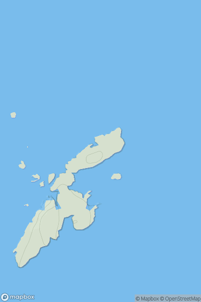
 Lewis and Nearby Islands
 0
0 37.0
37.0User Activity
No recent Activity
0
Ascents
South West England
0
244.0User Activity
No recent Activity
0
Ascents
South East England
0
193.0User Activity
No recent Activity
0
Ascents
Central and Eastern England
0
142.7User Activity
No recent Activity
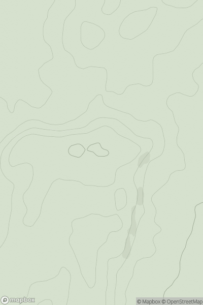
![Thumbnail image for Ash Hill [South West England] showing contour plot for surrounding peak](/static/img/mountains_img_db/17969_Ash_Hill_[South_West_England].png)
0
Ascents
South West England
0
286.0User Activity
No recent Activity
0
Ascents
Braemar to Montrose
0
299.0User Activity
No recent Activity