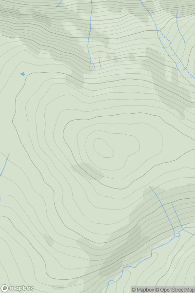
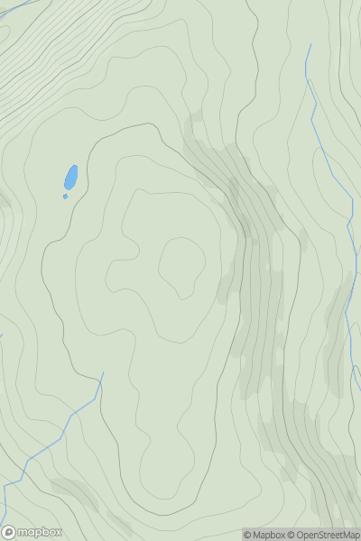
Ariel drone view of mountainous landscape with rolling clouds flowing over peak

Journal your hikes and share your adventures.

Bag peaks across the UK & Ireland, track your progress and see updates from Donder's growing community of hikers.

Donder's profile view available to users after sign-up, shows example user with progress tracking, hiking journal and user leaderboard

Thumbnail image for Mains Hill [Carrick and Galloway] showing contour plot for surrounding peak
SCO
Icon of location pin
182m
Icon of vertical, double ended, arrow to symbolise height of mountain

Mains Hill [Carrick and Galloway]

Icon of mountain used to symbolise the number of ascents made by users

0
Ascents

Thumbnail image for Grike showing contour plot for surrounding peak
ENG
Icon of location pin
488m
Icon of vertical, double ended, arrow to symbolise height of mountain

Grike

Icon of mountain used to symbolise the number of ascents made by users

0
Ascents

Thumbnail image for Pen Llanwern showing contour plot for surrounding peak
WLS
Icon of location pin
134m
Icon of vertical, double ended, arrow to symbolise height of mountain

Pen Llanwern

Icon of mountain used to symbolise the number of ascents made by users

0
Ascents

Thumbnail image for Kennapole Hill showing contour plot for surrounding peak
SCO
Icon of location pin
385m
Icon of vertical, double ended, arrow to symbolise height of mountain

Kennapole Hill

Icon of mountain used to symbolise the number of ascents made by users

0
Ascents

Thumbnail image for Haigh showing contour plot for surrounding peak
ENG
Icon of location pin
161m
Icon of vertical, double ended, arrow to symbolise height of mountain

Haigh

Icon of mountain used to symbolise the number of ascents made by users

0
Ascents

Thumbnail image for Nyth-grug showing contour plot for surrounding peak
WLS
Icon of location pin
538m
Icon of vertical, double ended, arrow to symbolise height of mountain

Nyth-grug

Icon of mountain used to symbolise the number of ascents made by users

0
Ascents