

.png)


0
Ascents

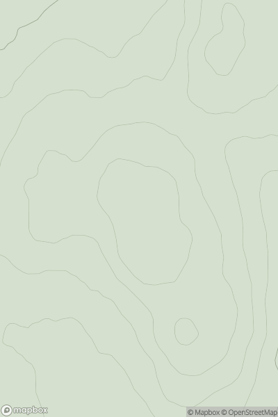
 Bala to Welshpool
 0
0 607.8
607.8User Activity
No recent Activity
0
Ascents
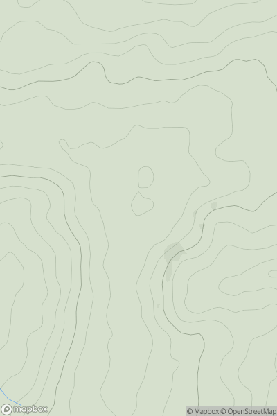
Firth of Forth to the River Tweed
0
296.0User Activity
No recent Activity
0
Ascents
South East England
0
180.0User Activity
No recent Activity
0
Ascents
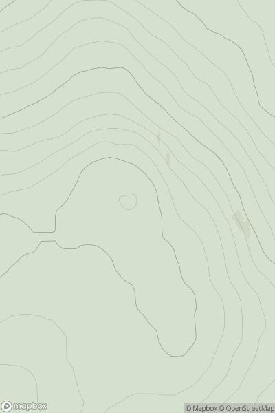
Inverness to Strathspey
0
413.0User Activity
No recent Activity
0
Ascents
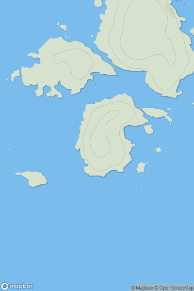
Harris and Nearby Islands
0
38.0User Activity
No recent Activity
0
Ascents
Sligo and N Roscommon
0
199.0User Activity
No recent Activity