


0
Ascents

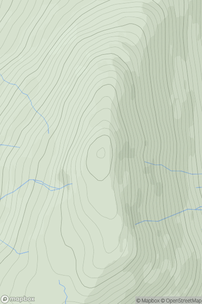
 South West England
 0
0 380.0
380.0User Activity
No recent Activity
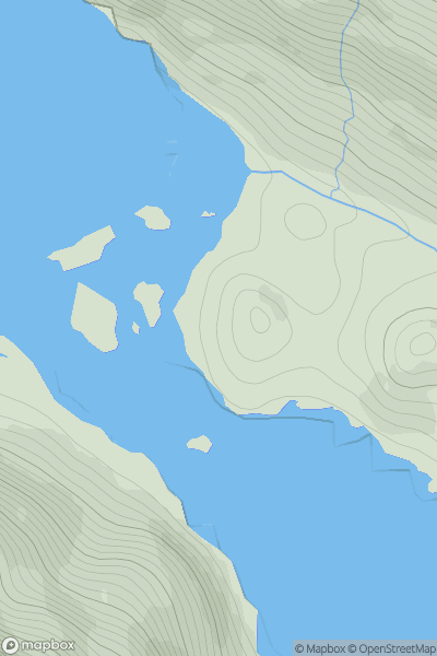
0
Ascents
Fort William to Loch Treig & Loch Leven
0
566.0User Activity
No recent Activity
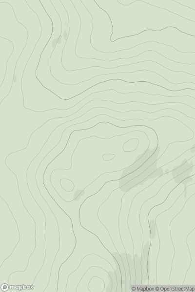
0
Ascents
Pitlochry to Braemar & Blairgowrie
0
425.3User Activity
No recent Activity
0
Ascents
Scourie to Lairg
0
54.0User Activity
No recent Activity
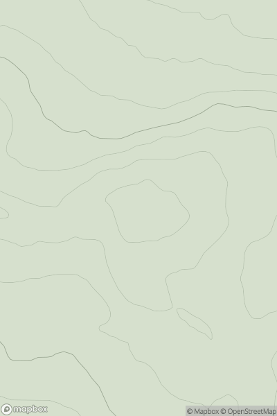
0
Ascents
Fraserburgh to the Dee Valley
0
186.0User Activity
No recent Activity
0
Ascents
Scourie to Lairg
0
613.0User Activity
No recent Activity