


0
Ascents

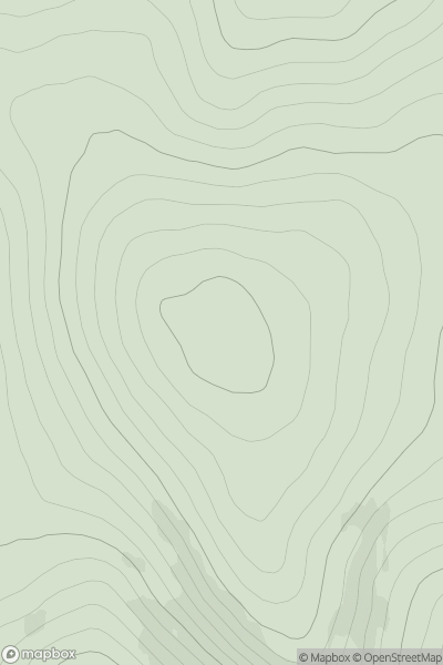
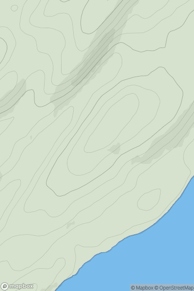
 Cairngorms
 0
0 711.0
711.0User Activity
No recent Activity
.png)
0
Ascents
Central Lowlands
0
126.0User Activity
No recent Activity
0
Ascents
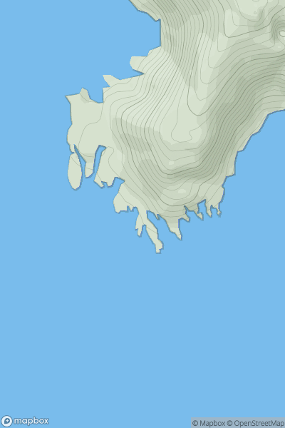
Shetland Islands
0
45.5User Activity
No recent Activity
0
Ascents
Anglesey and the Lleyn Peninsula
0
84.0User Activity
No recent Activity
0
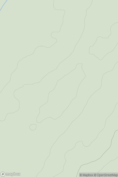
Ascents
Loch Fyne to Bute and the Firth of Clyde
0
469.0User Activity
No recent Activity
0
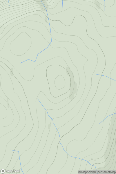
Ascents
Loch Linnhe to Loch Etive
0
85.0User Activity
No recent Activity