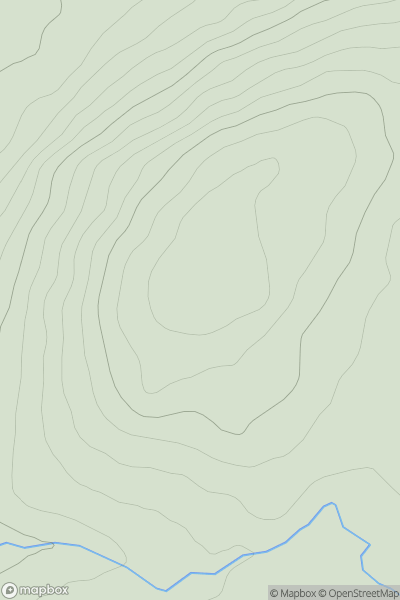
Ariel drone view of mountainous landscape with rolling clouds flowing over peak

Journal your hikes and share your adventures.

Bag peaks across the UK & Ireland, track your progress and see updates from Donder's growing community of hikers.

Donder's profile view available to users after sign-up, shows example user with progress tracking, hiking journal and user leaderboard

Thumbnail image for Meall Dubh Mor [Loch Rannoch to Glen Lyon] showing contour plot for surrounding peak
SCO
Icon of location pin
598m
Icon of vertical, double ended, arrow to symbolise height of mountain

Meall Dubh Mor [Loch Rannoch to Glen Lyon]

Icon of mountain used to symbolise the number of ascents made by users

0
Ascents

Thumbnail image for Meall Ardruighe showing contour plot for surrounding peak
SCO
Icon of location pin
432m
Icon of vertical, double ended, arrow to symbolise height of mountain

Meall Ardruighe

Icon of mountain used to symbolise the number of ascents made by users

0
Ascents

Thumbnail image for An Eachla (mullach theas) (Aghla Mountain South Top) showing contour plot for surrounding peak
IRE
Icon of location pin
593m
Icon of vertical, double ended, arrow to symbolise height of mountain

An Eachla (mullach theas) (Aghla Mountain South Top)

Icon of mountain used to symbolise the number of ascents made by users

0
Ascents

Thumbnail image for Napton Hill showing contour plot for surrounding peak
ENG
Icon of location pin
158m
Icon of vertical, double ended, arrow to symbolise height of mountain

Napton Hill

Icon of mountain used to symbolise the number of ascents made by users

0
Ascents

Thumbnail image for Clatto Hill [Central Scotland from Dumbarton to Montrose] [NO436157] showing contour plot for surrounding peak
SCO
Icon of location pin
168m
Icon of vertical, double ended, arrow to symbolise height of mountain

Clatto Hill [Central Scotland from Dumbarton to Montrose] [NO436157]

Icon of mountain used to symbolise the number of ascents made by users

0
Ascents

Thumbnail image for Whitehope Heights showing contour plot for surrounding peak
SCO
Icon of location pin
637m
Icon of vertical, double ended, arrow to symbolise height of mountain

Whitehope Heights

Icon of mountain used to symbolise the number of ascents made by users

0
Ascents