


0
Ascents

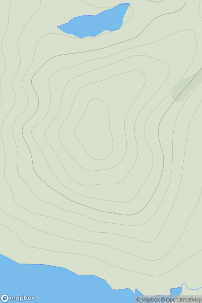
 Shetland Islands
 0
0 100.0
100.0User Activity
No recent Activity
0
Ascents
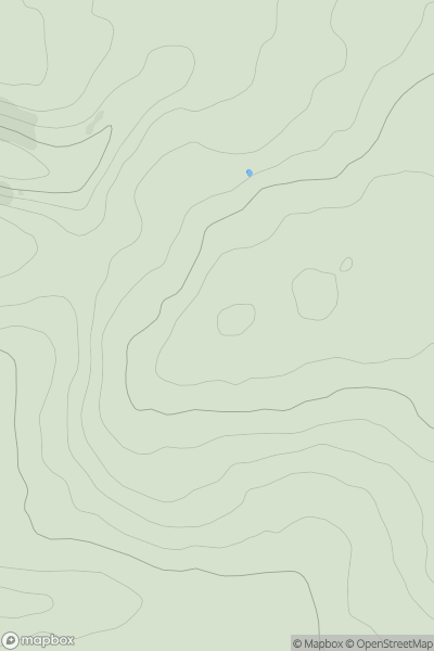
Lancashire, Cheshire and S Pennines
0
471.0User Activity
No recent Activity
0
Ascents
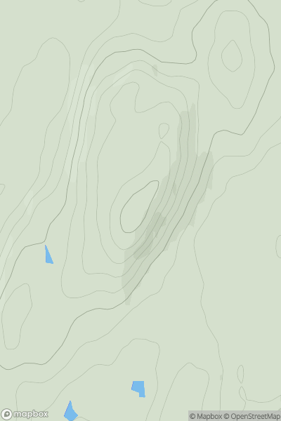
Carrick and Galloway
0
163.0User Activity
No recent Activity
0
Ascents
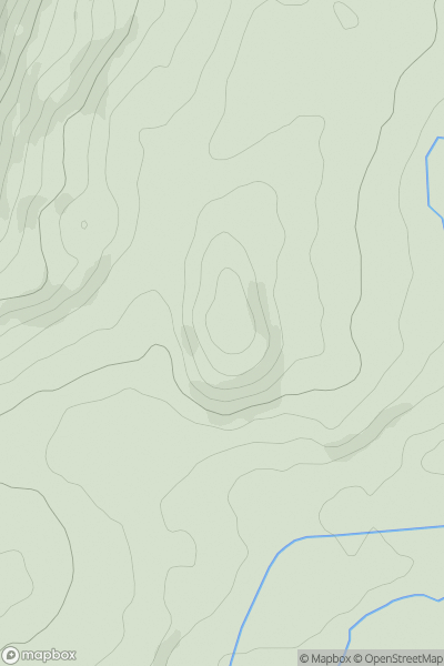
Carmarthen to Vale of Neath
0
102.0User Activity
No recent Activity
0
Ascents
Lake District C&W
0
338.0User Activity
No recent Activity
0
Ascents
Lake District C&W
0
765.0User Activity
No recent Activity