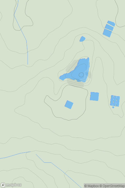
Ariel drone view of mountainous landscape with rolling clouds flowing over peak

Journal your hikes and share your adventures.

Bag peaks across the UK & Ireland, track your progress and see updates from Donder's growing community of hikers.

Donder's profile view available to users after sign-up, shows example user with progress tracking, hiking journal and user leaderboard

Thumbnail image for Knock Hill [Central Scotland from Dumbarton to Montrose] [NT053937] showing contour plot for surrounding peak
SCO
Icon of location pin
364m
Icon of vertical, double ended, arrow to symbolise height of mountain

Knock Hill [Central Scotland from Dumbarton to Montrose] [NT053937]

Icon of mountain used to symbolise the number of ascents made by users

0
Ascents

Thumbnail image for Da Noup (The Noup) showing contour plot for surrounding peak
SCO
Icon of location pin
248m
Icon of vertical, double ended, arrow to symbolise height of mountain

Da Noup (The Noup)

Icon of mountain used to symbolise the number of ascents made by users

0
Ascents

Thumbnail image for Meall na Teanga [Loch Arkaig to Glen Moriston] showing contour plot for surrounding peak
SCO
Icon of location pin
917m
Icon of vertical, double ended, arrow to symbolise height of mountain

Meall na Teanga [Loch Arkaig to Glen Moriston]

Icon of mountain used to symbolise the number of ascents made by users

0
Ascents

Thumbnail image for Boltonhill showing contour plot for surrounding peak
WLS
Icon of location pin
110m
Icon of vertical, double ended, arrow to symbolise height of mountain

Boltonhill

Icon of mountain used to symbolise the number of ascents made by users

0
Ascents

Thumbnail image for Mossbrae Height showing contour plot for surrounding peak
SCO
Icon of location pin
468m
Icon of vertical, double ended, arrow to symbolise height of mountain

Mossbrae Height

Icon of mountain used to symbolise the number of ascents made by users

0
Ascents

Thumbnail image for Beinn Ghot showing contour plot for surrounding peak
SCO
Icon of location pin
177m
Icon of vertical, double ended, arrow to symbolise height of mountain

Beinn Ghot

Icon of mountain used to symbolise the number of ascents made by users

0
Ascents