


0
Ascents

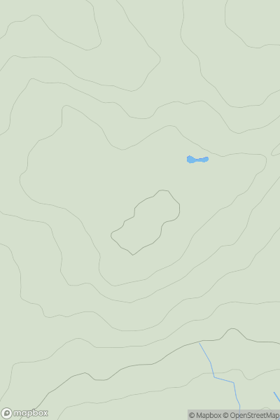
 Central and Eastern England
 0
0 147.7
147.7User Activity
No recent Activity
0
Ascents
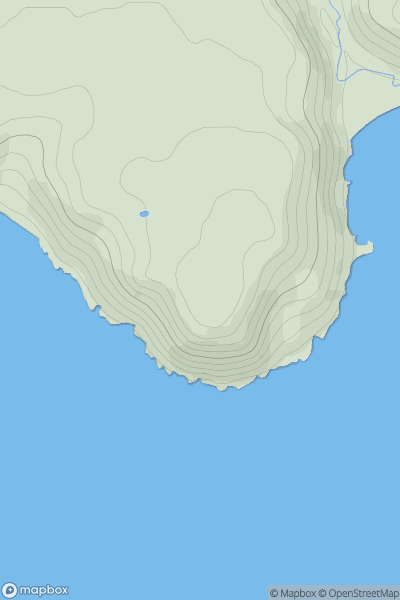
Carmarthen to Vale of Neath
0
97.0User Activity
No recent Activity
.png)
0
Ascents
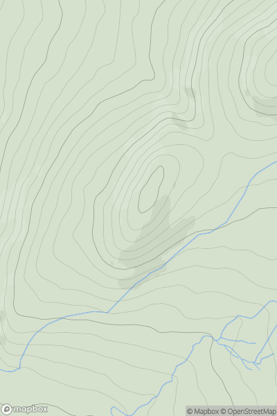
Galty Mountains
0
479.5User Activity
No recent Activity
0
Ascents
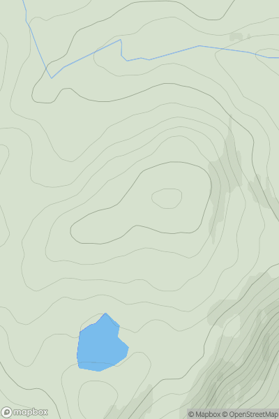
Snowdonia
0
408.7User Activity
No recent Activity
0
Ascents
Glen Affric to Glen Moriston
0
365.0User Activity
No recent Activity
0
Ascents
Kyle of Lochalsh to Garve
0
339.0User Activity
No recent Activity