


0
Ascents

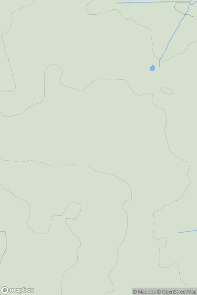
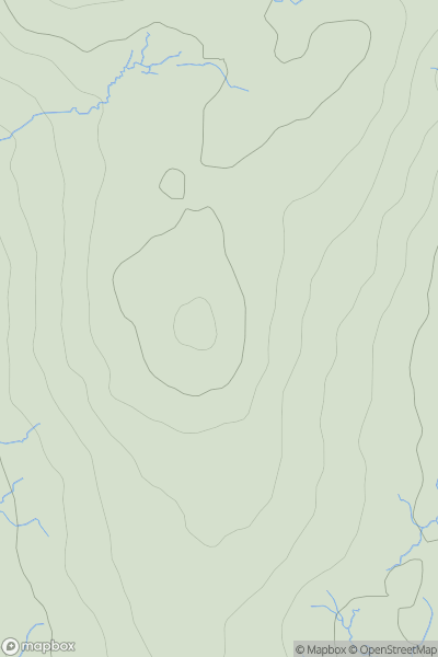
 Central and Eastern England
 0
0 177.0
177.0User Activity
No recent Activity
0
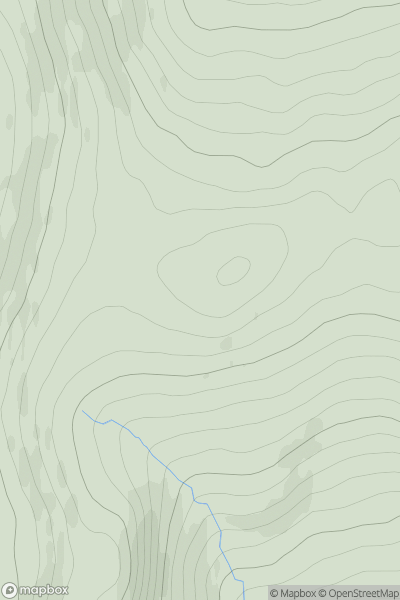
Ascents
Tomintoul to Banff
0
499.0User Activity
No recent Activity
0
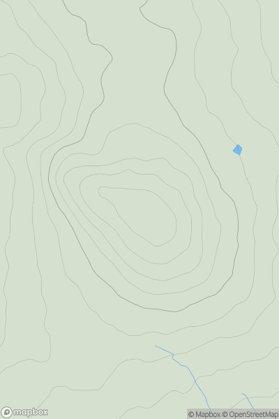
Ascents
Carmarthen to Vale of Neath
0
152.0User Activity
No recent Activity
0
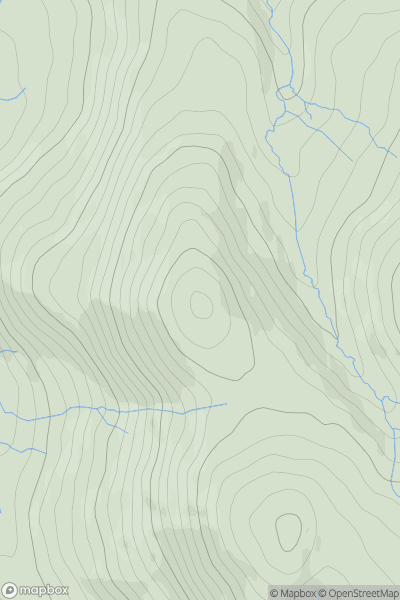
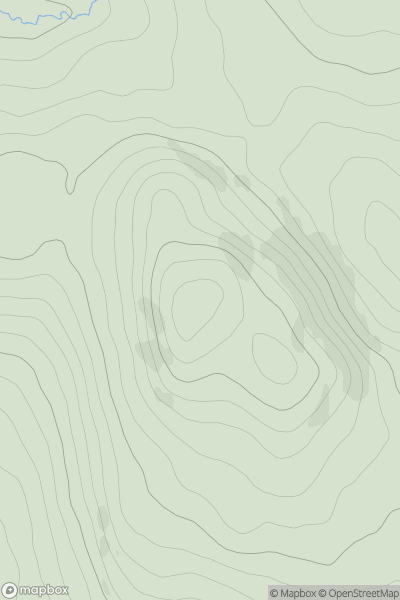
Ascents
Lake District N
0
483.0User Activity
No recent Activity
0
Ascents
Lake District C&W
0
515.0User Activity
No recent Activity
0
Ascents
Ayr to the River Clyde
0
332.0User Activity
No recent Activity