


0
Ascents

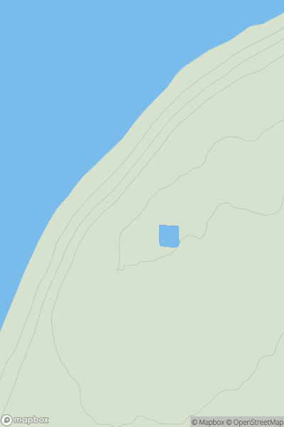
 Inverness to Strathspey
 0
0 45.0
45.0User Activity
No recent Activity
.png)
0
Ascents
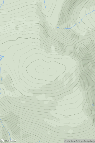
Nephin Beg Range
0
322.0User Activity
No recent Activity
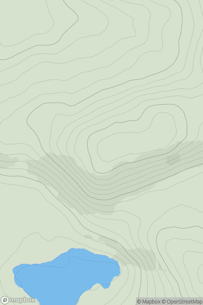
![Thumbnail image for Carlin Tooth [The River Tweed to the English Border] [NY418988] showing contour plot for surrounding peak](/static/img/mountains_img_db/7440_Carlin_Tooth_[The_River_Tweed_to_the_English_Border]_[NY418988].png)
0
Ascents
The River Tweed to the English Border
0
511.0User Activity
No recent Activity
0
Ascents
Lake District N
0
715.0User Activity
No recent Activity
0
Ascents
Maumturk Mountains
0
224.0User Activity
No recent Activity

0
Ascents
Lancashire, Cheshire and S Pennines
0
186.2User Activity
No recent Activity