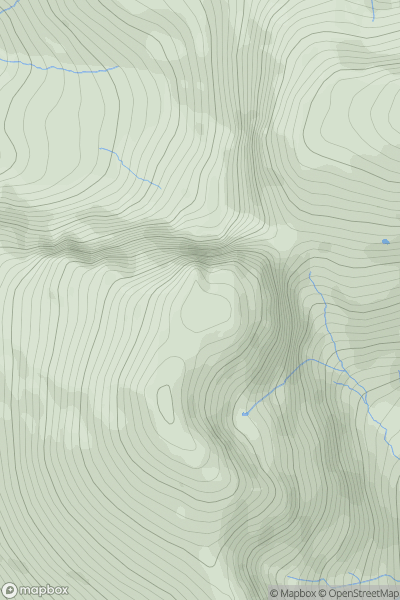
Ariel drone view of mountainous landscape with rolling clouds flowing over peak

Journal your hikes and share your adventures.

Bag peaks across the UK & Ireland, track your progress and see updates from Donder's growing community of hikers.

Donder's profile view available to users after sign-up, shows example user with progress tracking, hiking journal and user leaderboard

Thumbnail image for Carn Macsna showing contour plot for surrounding peak
SCO
Icon of location pin
525m
Icon of vertical, double ended, arrow to symbolise height of mountain

Carn Macsna

Icon of mountain used to symbolise the number of ascents made by users

0
Ascents

Thumbnail image for Hart Howe showing contour plot for surrounding peak
ENG
Icon of location pin
199m
Icon of vertical, double ended, arrow to symbolise height of mountain

Hart Howe

Icon of mountain used to symbolise the number of ascents made by users

0
Ascents

Thumbnail image for Moss Hill showing contour plot for surrounding peak
SCO
Icon of location pin
659m
Icon of vertical, double ended, arrow to symbolise height of mountain

Moss Hill

Icon of mountain used to symbolise the number of ascents made by users

0
Ascents

Thumbnail image for Rhos Dirion showing contour plot for surrounding peak
WLS
Icon of location pin
713m
Icon of vertical, double ended, arrow to symbolise height of mountain

Rhos Dirion

Icon of mountain used to symbolise the number of ascents made by users

0
Ascents

Thumbnail image for Symonds Knott showing contour plot for surrounding peak
ENG
Icon of location pin
959m
Icon of vertical, double ended, arrow to symbolise height of mountain

Symonds Knott

Icon of mountain used to symbolise the number of ascents made by users

0
Ascents

Thumbnail image for Cefn Llwyd showing contour plot for surrounding peak
WLS
Icon of location pin
279m
Icon of vertical, double ended, arrow to symbolise height of mountain

Cefn Llwyd

Icon of mountain used to symbolise the number of ascents made by users

0
Ascents