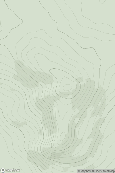
Ariel drone view of mountainous landscape with rolling clouds flowing over peak

Journal your hikes and share your adventures.

Bag peaks across the UK & Ireland, track your progress and see updates from Donder's growing community of hikers.

Donder's profile view available to users after sign-up, shows example user with progress tracking, hiking journal and user leaderboard

Thumbnail image for White Hill [The River Tweed to the English Border] [NT503068] showing contour plot for surrounding peak
SCO
Icon of location pin
311m
Icon of vertical, double ended, arrow to symbolise height of mountain

White Hill [The River Tweed to the English Border] [NT503068]

Icon of mountain used to symbolise the number of ascents made by users

0
Ascents

Thumbnail image for Oughty Hill showing contour plot for surrounding peak
IRE
Icon of location pin
333m
Icon of vertical, double ended, arrow to symbolise height of mountain

Oughty Hill

Icon of mountain used to symbolise the number of ascents made by users

0
Ascents

Thumbnail image for Ruigh a' Chnoic Mhoir showing contour plot for surrounding peak
SCO
Icon of location pin
575m
Icon of vertical, double ended, arrow to symbolise height of mountain

Ruigh a' Chnoic Mhoir

Icon of mountain used to symbolise the number of ascents made by users

0
Ascents

Thumbnail image for Carn Tiekeiver showing contour plot for surrounding peak
SCO
Icon of location pin
772m
Icon of vertical, double ended, arrow to symbolise height of mountain

Carn Tiekeiver

Icon of mountain used to symbolise the number of ascents made by users

0
Ascents

Thumbnail image for Banagher Hill (Cnoc Bheannchair) showing contour plot for surrounding peak
IRE
Icon of location pin
392m
Icon of vertical, double ended, arrow to symbolise height of mountain

Banagher Hill (Cnoc Bheannchair)

Icon of mountain used to symbolise the number of ascents made by users

0
Ascents

Thumbnail image for Pen y Garth [Bala to Welshpool] showing contour plot for surrounding peak
WLS
Icon of location pin
265m
Icon of vertical, double ended, arrow to symbolise height of mountain

Pen y Garth [Bala to Welshpool]

Icon of mountain used to symbolise the number of ascents made by users

0
Ascents