


0
Ascents

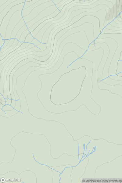
 Llandovery to Monmouth
 0
0 412.0
412.0User Activity
No recent Activity
0
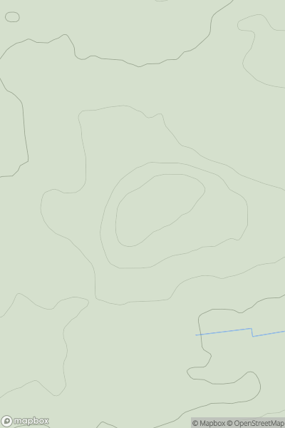
Ascents
Central Scotland from Dumbarton to Montrose
0
240.0User Activity
No recent Activity
0
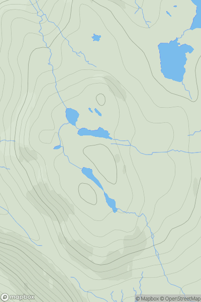
Ascents
Harris and Nearby Islands
0
166.0User Activity
No recent Activity
0
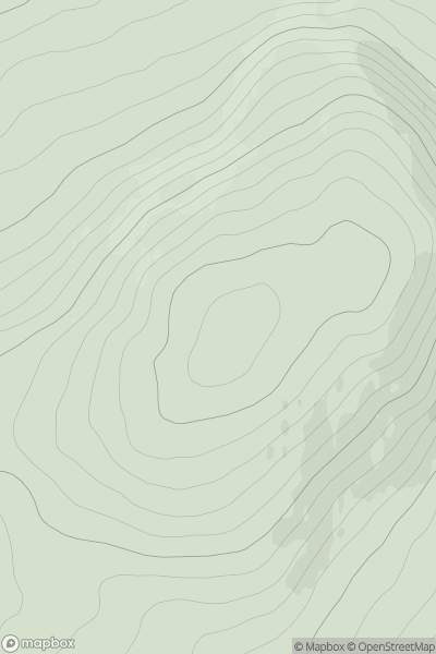
Ascents
Tomintoul to Banff
0
466.0User Activity
No recent Activity
.png)
0
Ascents
County Tipperary
0
458.0User Activity
No recent Activity
0
Ascents
Welsh Borders S
0
178.0User Activity
No recent Activity