


0
Ascents

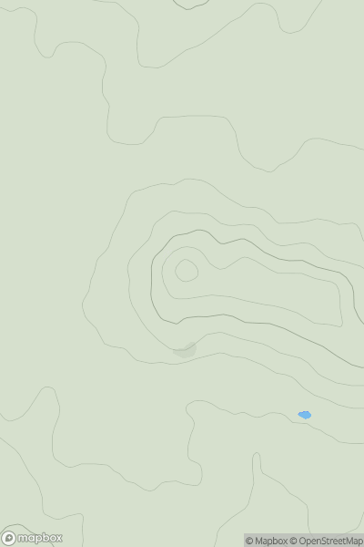
 Lancashire, Cheshire and S Pennines
 0
0 236.0
236.0User Activity
No recent Activity
0
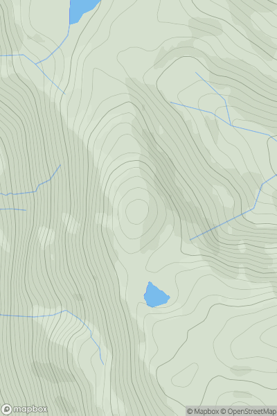
Ascents
South West England
0
142.7User Activity
No recent Activity
0
Ascents
Central Scotland from Dumbarton to Montrose
0
259.0User Activity
No recent Activity
0
Ascents
Fraserburgh to the Dee Valley
0
200.4User Activity
No recent Activity
0
Ascents
Central and Eastern England
0
224.3User Activity
No recent Activity
0
Ascents
Loch Lomond to Strathyre
0
612.0User Activity
No recent Activity