


0
Ascents

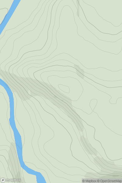
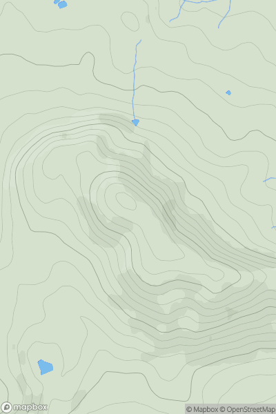
 North Pennines
 0
0 183.0
183.0User Activity
No recent Activity
0
Ascents
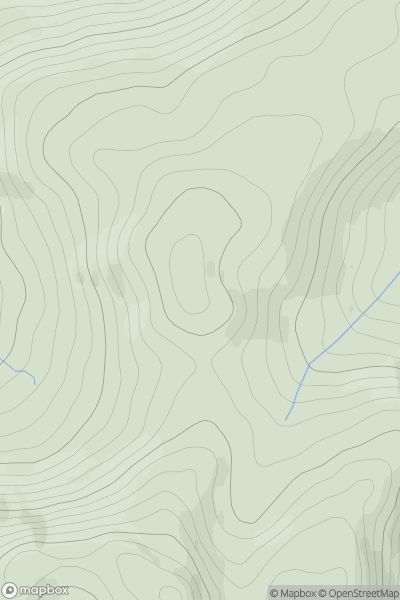
Loch Rannoch to Glen Lyon
0
731.3User Activity
No recent Activity
0
Ascents
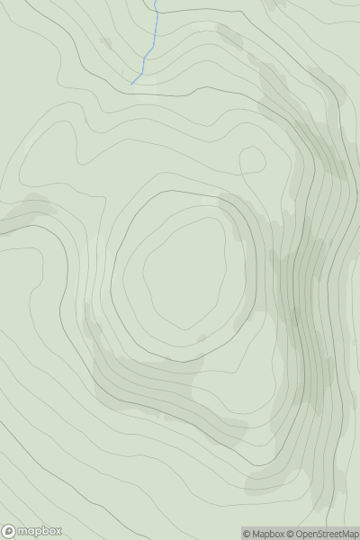
Pitlochry to Braemar & Blairgowrie
0
487.0User Activity
No recent Activity
0
Ascents
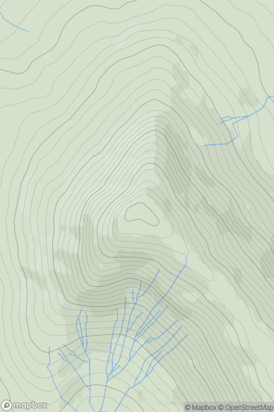
Llandovery to Monmouth
0
609.0User Activity
No recent Activity
.png)
0
Ascents
Shehy Mountains
0
656.0User Activity
No recent Activity
0
Ascents
Welsh Borders S
0
283.0User Activity
No recent Activity