


0
Ascents

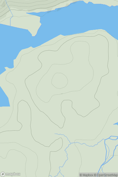
 Loch Arkaig to Glen Moriston
 0
0 123.0
123.0User Activity
No recent Activity
![Thumbnail image for An Grianan [Glen Etive to Glen Lochy] showing contour plot for surrounding peak](/static/img/mountains_img_db/5905_An_Grianan_[Glen_Etive_to_Glen_Lochy].png)
0
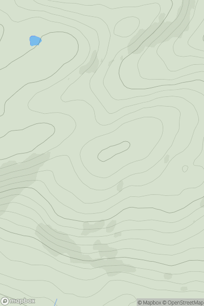
Ascents
Glen Etive to Glen Lochy
0
494.0User Activity
No recent Activity
0
Ascents
Central and Eastern England
0
279.0User Activity
No recent Activity
0
Ascents
Loch Lomond to Strathyre
0
507.0User Activity
No recent Activity
0
Ascents
Firth of Forth to the River Tweed
0
119.0User Activity
No recent Activity
.png)
0
Ascents
Anglesey and the Lleyn Peninsula
0
444.0User Activity
No recent Activity