


0
Ascents

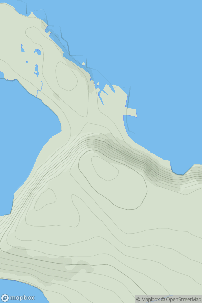
 North Skye and Raasay
 0
0 116.0
116.0User Activity
No recent Activity
0
Ascents
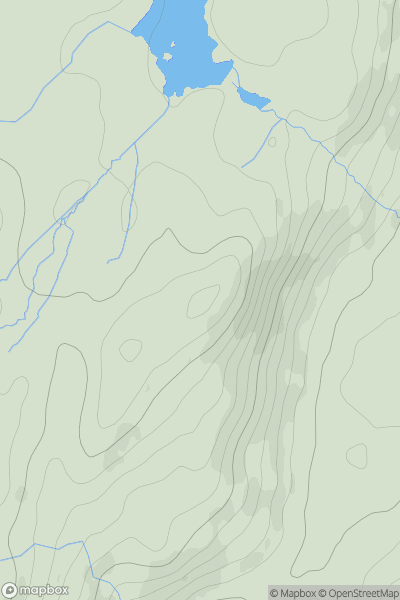
Lake District S
0
230.0User Activity
No recent Activity
.png)
0
Ascents
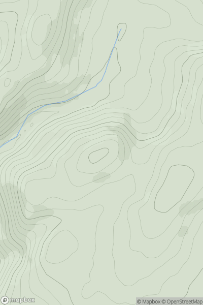
Wicklow Hills S
0
663.0User Activity
No recent Activity
0
Ascents
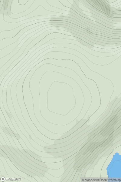
Lancashire, Cheshire and S Pennines
0
358.0User Activity
No recent Activity
![Thumbnail image for Green Hill [The Glenkens to Annandale] [NS442090] showing contour plot for surrounding peak](/static/img/mountains_img_db/13338_Green_Hill_[The_Glenkens_to_Annandale]_[NS442090].png)
0
Ascents
The Glenkens to Annandale
0
300.0User Activity
No recent Activity
0
Ascents
Durness to Loch Shin
0
688.9User Activity
No recent Activity