


0
Ascents

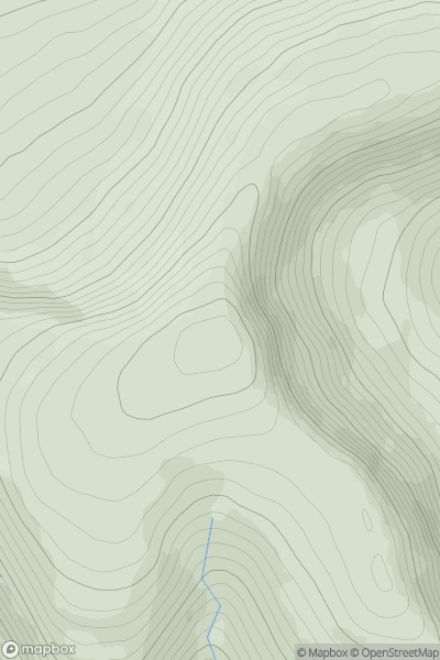
 Moidart and Ardnamurchan
 0
0 208.0
208.0User Activity
No recent Activity
0
Ascents
County Clare
0
267.0User Activity
No recent Activity
0
Ascents
Loch Rannoch to Glen Lyon
0
680.1User Activity
No recent Activity
0
Ascents
Carmarthen to Vale of Neath
0
317.0User Activity
No recent Activity
0
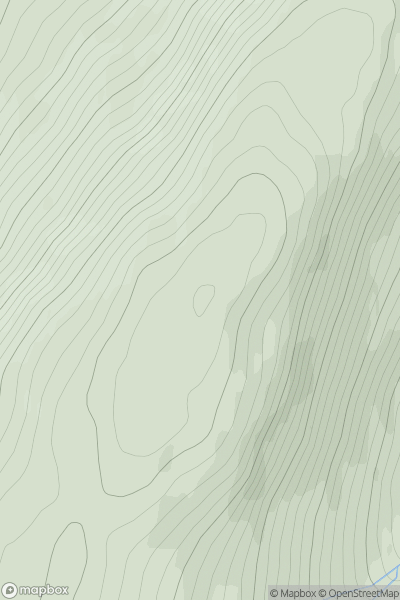
Ascents
Sunart and Ardgour
0
771.0User Activity
No recent Activity
0
Ascents
Applecross to Achnasheen
0
677.8User Activity
No recent Activity